Area Overview for M27 6DD
Photos of M27 6DD
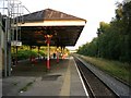
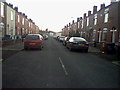
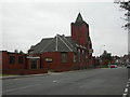
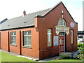
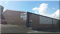
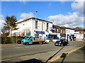
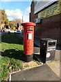
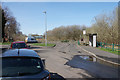
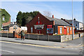
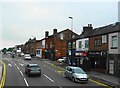
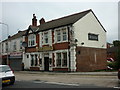
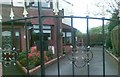
26 photos from this area
Area Information
Key information about the M27 6DD including its size, population, and administrative classification.
- Area Type
- Postcode
- Area Size
- 5876 m²
- Population
- 1278
- Population Density
- 5383 people/km²
House Prices in M27 6DD
37
Properties
£119,827
Average Sold Price
£23,000
Lowest Price
£265,000
Highest Price
Showing 37 properties
| Address | Type | Beds | Baths | Last Sale Price | Last Sale Date | |
|---|---|---|---|---|---|---|
| 48 Lynton Avenue, Swinton, M27 6DD | Terraced | 2 | 1 | £200,000 | Sep 2025 | |
| 44 Lynton Avenue, Swinton, M27 6DD | Terraced | 2 | 1 | £145,000 | Sep 2024 | |
| 21 Lynton Avenue, Swinton, M27 6DD | Semi-detached | 3 | 2 | £265,000 | Aug 2024 | |
| 10 Lynton Avenue, Swinton, M27 6DD | Terraced | 2 | 1 | £132,500 | May 2024 | |
| 30 Lynton Avenue, Swinton, M27 6DD | Terraced | 2 | 1 | £170,000 | May 2023 | |
| 38 Lynton Avenue, Swinton, M27 6DD | Terraced | 2 | 1 | £145,000 | Mar 2023 | |
| 2 Lynton Avenue, Swinton, M27 6DD | Terraced | 3 | 1 | £225,876 | Nov 2022 | |
| 8 Lynton Avenue, Swinton, M27 6DD | Terraced | 2 | 1 | £185,000 | Apr 2022 | |
| 42 Lynton Avenue, Swinton, M27 6DD | Terraced | 2 | 1 | £167,000 | Sep 2021 | |
| 7 Lynton Avenue, Swinton, M27 6DD | house | - | - | £195,000 | Oct 2020 |
Page 1 of 4
Energy Efficiency in M27 6DD
Amenities
Schools
| Rank | School | Type | Entry gender | Ages |
|---|
Explore more schools in this area
Go to Schools tabDemographics
Household Size
Two person
most common
Accommodation Type
Houses
most common
Tenure
59
majority
Ethnic Group
White
most common
Religion
N/A
most common
Household Composition
N/A
most common
Age
47
median
Adults (30-64 years)
most common
Household Deprivation
N/A
with no deprivation
NS-SEC
30
in Lower managerial occupations
Explore more demographic insights in this area
Go to Demographics tabPlanning
Planning Constraints
- Flood RiskPremium
- Ramsar Wetland SitesPremium
- Area of Outstanding Natural BeautyPremium
- Protected Nature ReservePremium
- Protected WoodlandPremium