Area Overview for M27 5SR
Photos of M27 5SR
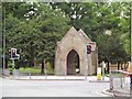

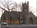
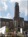
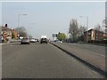
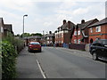
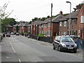

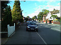
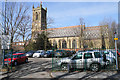
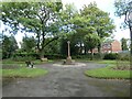
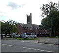
31 photos from this area
Area Information
Key information about the M27 5SR including its size, population, and administrative classification.
- Area Type
- Postcode
- Area Size
- 3396 m²
- Population
- 1516
- Population Density
- 5111 people/km²
House Prices in M27 5SR
16
Properties
£102,295
Average Sold Price
£38,500
Lowest Price
£185,000
Highest Price
Showing 16 properties
| Address | Type | Beds | Baths | Last Sale Price | Last Sale Date | |
|---|---|---|---|---|---|---|
| 57 Partington Lane, Swinton, M27 5SR | house | - | - | £180,000 | Mar 2023 | |
| 61 Partington Lane, Swinton, M27 5SR | house | - | - | £185,000 | Jul 2021 | |
| 51 Partington Lane, Swinton, M27 5SR | house | 2 | - | £102,500 | Apr 2016 | |
| 59 Partington Lane, Swinton, M27 5SR | house | 3 | - | £78,000 | Nov 2011 | |
| 55 Partington Lane, Swinton, M27 5SR | house | - | - | £108,000 | Jun 2008 | |
| 65 Partington Lane, Swinton, M27 5SR | Terraced | 3 | 1 | £85,000 | Mar 2005 | |
| 63 Partington Lane, Swinton, M27 5SR | Terraced | - | - | £114,500 | Dec 2004 | |
| 49 Partington Lane, Swinton, M27 5SR | Terraced | - | - | £92,950 | Apr 2004 | |
| 53 Partington Lane, Swinton, M27 5SR | house | - | - | £38,500 | Oct 1998 | |
| 47 Partington Lane, Swinton, M27 5SR | Terraced | - | - | £38,500 | May 1997 |
Page 1 of 2
Energy Efficiency in M27 5SR
Amenities
Schools
| Rank | School | Type | Entry gender | Ages |
|---|
Explore more schools in this area
Go to Schools tabDemographics
Household Size
Two person
most common
Accommodation Type
Houses
most common
Tenure
64
majority
Ethnic Group
White
most common
Religion
N/A
most common
Household Composition
N/A
most common
Age
47
median
Adults (30-64 years)
most common
Household Deprivation
N/A
with no deprivation
NS-SEC
30
in Lower managerial occupations
Explore more demographic insights in this area
Go to Demographics tabPlanning
Planning Constraints
- Flood RiskPremium
- Ramsar Wetland SitesPremium
- Area of Outstanding Natural BeautyPremium
- Protected Nature ReservePremium
- Protected WoodlandPremium