Area Overview for M27 4JL
Photos of M27 4JL
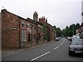
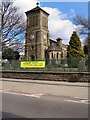
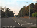
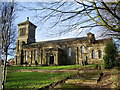
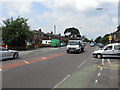
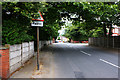

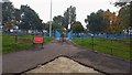
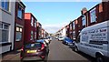
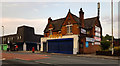
32 photos from this area
Area Information
Key information about the M27 4JL including its size, population, and administrative classification.
- Area Type
- Postcode
- Area Size
- 7812 m²
- Population
- 1790
- Population Density
- 7746 people/km²
House Prices in M27 4JL
26
Properties
£134,522
Average Sold Price
£30,000
Lowest Price
£287,000
Highest Price
Showing 26 properties
| Address | Type | Beds | Baths | Last Sale Price | Last Sale Date | |
|---|---|---|---|---|---|---|
| 52 Parksway, Swinton, M27 4JL | Detached | 3 | 1 | £275,000 | Aug 2023 | |
| 30 Parksway, Swinton, M27 4JL | Semi-detached | 3 | 1 | £287,000 | Sep 2021 | |
| 46 Parksway, Swinton, M27 4JL | Semi-detached | 3 | 1 | £185,000 | Feb 2021 | |
| 44 Parksway, Swinton, M27 4JL | Semi-detached | 3 | 1 | £180,000 | Apr 2018 | |
| 28 Parksway, Swinton, M27 4JL | Semi-detached | 3 | 1 | £173,100 | Jun 2016 | |
| 40 Parksway, Swinton, M27 4JL | Semi-detached | 3 | 2 | £155,000 | Mar 2016 | |
| 38 Parksway, Swinton, M27 4JL | Semi-detached | 3 | - | £128,000 | Feb 2015 | |
| 32 Parksway, Swinton, M27 4JL | Semi-detached | 3 | 1 | £137,500 | Apr 2014 | |
| 24 Parksway, Swinton, M27 4JL | Semi-detached | - | - | £80,000 | Jul 2013 | |
| 18 Parksway, Swinton, M27 4JL | house | - | - | £145,000 | Jun 2011 |
Page 1 of 3
Energy Efficiency in M27 4JL
Amenities
Schools
| Rank | School | Type | Entry gender | Ages |
|---|
Explore more schools in this area
Go to Schools tabDemographics
Household Size
Family (3-5 people)
most common
Accommodation Type
Houses
most common
Tenure
87
majority
Ethnic Group
White
most common
Religion
N/A
most common
Household Composition
N/A
most common
Age
47
median
Adults (30-64 years)
most common
Household Deprivation
N/A
with no deprivation
NS-SEC
35
in Lower managerial occupations
Explore more demographic insights in this area
Go to Demographics tabPlanning
Planning Constraints
- Flood RiskPremium
- Ramsar Wetland SitesPremium
- Area of Outstanding Natural BeautyPremium
- Protected Nature ReservePremium
- Protected WoodlandPremium