Area Overview for M27 4BB
Photos of M27 4BB
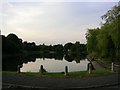
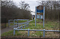
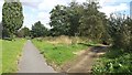
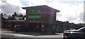
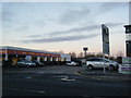
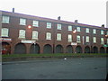
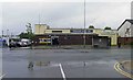
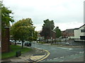
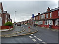
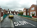
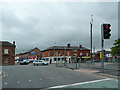
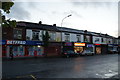
22 photos from this area
Area Information
Key information about the M27 4BB including its size, population, and administrative classification.
- Area Type
- Postcode
- Area Size
- 4500 m²
- Population
- 1759
- Population Density
- 4379 people/km²
House Prices in M27 4BB
10
Properties
£159,400
Average Sold Price
£9,500
Lowest Price
£330,000
Highest Price
Showing 10 properties
| Address | Type | Beds | Baths | Last Sale Price | Last Sale Date | |
|---|---|---|---|---|---|---|
| 215 Pendlebury Road, Swinton, M27 4BB | Semi-detached | 4 | 3 | £330,000 | May 2023 | |
| 201 Pendlebury Road, Swinton, M27 4BB | Retail | 3 | 1 | £160,000 | Dec 2022 | |
| 217 Pendlebury Road, Swinton, M27 4BB | Semi-detached | 3 | - | £200,000 | Feb 2022 | |
| 219 Pendlebury Road, Swinton, M27 4BB | house | 1 | 2 | £97,500 | Feb 2016 | |
| 205 Pendlebury Road, Swinton, M27 4BB | house | - | - | £9,500 | Dec 2000 | |
| 211 Pendlebury Road, Swinton, M27 4BB | Semi-detached | 3 | 2 | - | - | |
| 203 Pendlebury Road, Swinton, M27 4BB | Semi-detached | 3 | 1 | - | - | |
| 207 Pendlebury Road, Swinton, M27 4BB | house | - | - | - | - | |
| 209 Pendlebury Road, Swinton, M27 4BB | Semi-detached | - | - | - | - | |
| 213 Pendlebury Road, Swinton, M27 4BB | Semi-detached | - | - | - | - |
Energy Efficiency in M27 4BB
Amenities
Schools
| Rank | School | Type | Entry gender | Ages |
|---|
Explore more schools in this area
Go to Schools tabDemographics
Household Size
One person
most common
Accommodation Type
Houses
most common
Tenure
39
majority
Ethnic Group
White
most common
Religion
N/A
most common
Household Composition
N/A
most common
Age
47
median
Adults (30-64 years)
most common
Household Deprivation
N/A
with no deprivation
NS-SEC
22
in Lower managerial occupations
Explore more demographic insights in this area
Go to Demographics tabPlanning
Planning Constraints
- Flood RiskPremium
- Ramsar Wetland SitesPremium
- Area of Outstanding Natural BeautyPremium
- Protected Nature ReservePremium
- Protected WoodlandPremium