Area Overview for M26 2XT
Photos of M26 2XT
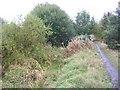
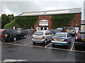
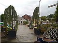
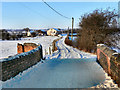
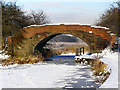
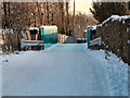
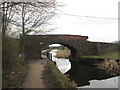
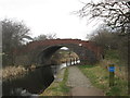
100 photos from this area
Area Information
Key information about the M26 2XT including its size, population, and administrative classification.
- Area Type
- Postcode
- Area Size
- 3.4 hectares
- Population
- 1425
- Population Density
- 1876 people/km²
House Prices in M26 2XT
18
Properties
£61,518
Average Sold Price
£432
Lowest Price
£127,500
Highest Price
Showing 18 properties
| Address | Type | Beds | Baths | Last Sale Price | Last Sale Date | |
|---|---|---|---|---|---|---|
| 58 Eton Hill Road, Radcliffe, M26 2XT | house | - | - | £127,500 | Jan 2025 | |
| 54 Eton Hill Road, Radcliffe, M26 2XT | Terraced | 2 | 1 | £110,000 | May 2024 | |
| 46-48 Eton Hill Road, Radcliffe, M26 2XT | house | - | - | £432 | Aug 2020 | |
| 56 Eton Hill Road, Radcliffe, M26 2XT | Terraced | 2 | 1 | £65,000 | Oct 2018 | |
| 66 Eton Hill Road, Radcliffe, M26 2XT | Semi-detached | 3 | - | £107,000 | Jul 2015 | |
| 52 Eton Hill Road, Radcliffe, M26 2XT | Terraced | 2 | 1 | £54,000 | Aug 2014 | |
| 50 Eton Hill Road, Radcliffe, M26 2XT | house | - | - | £59,000 | Feb 2012 | |
| 60 Eton Hill Road, Radcliffe, M26 2XT | house | 2 | - | £60,000 | May 2010 | |
| 44 Eton Hill Road, Radcliffe, M26 2XT | Terraced | 2 | - | £17,000 | Jan 2000 | |
| 42 Eton Hill Road, Radcliffe, M26 2XT | Terraced | 2 | 1 | £15,250 | Jul 1999 |
Page 1 of 2
Energy Efficiency in M26 2XT
Amenities
Schools
| Rank | School | Type | Entry gender | Ages |
|---|
Explore more schools in this area
Go to Schools tabDemographics
Household Size
One person
most common
Accommodation Type
Houses
most common
Tenure
62
majority
Ethnic Group
White
most common
Religion
N/A
most common
Household Composition
N/A
most common
Age
47
median
Adults (30-64 years)
most common
Household Deprivation
N/A
with no deprivation
NS-SEC
23
in Lower managerial occupations
Explore more demographic insights in this area
Go to Demographics tabPlanning
Planning Constraints
- Flood RiskPremium
- Ramsar Wetland SitesPremium
- Area of Outstanding Natural BeautyPremium
- Protected Nature ReservePremium
- Protected WoodlandPremium