Area Overview for M26 2GN
Photos of M26 2GN
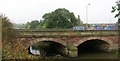
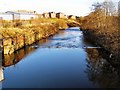
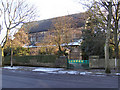
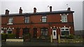
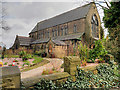
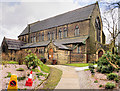
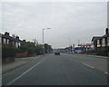

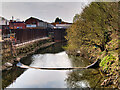
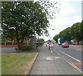
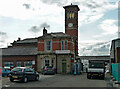
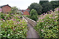
38 photos from this area
Area Information
Key information about the M26 2GN including its size, population, and administrative classification.
- Area Type
- Postcode
- Area Size
- 4278 m²
- Population
- 1988
- Population Density
- 3689 people/km²
House Prices in M26 2GN
21
Properties
£98,167
Average Sold Price
£35,000
Lowest Price
£163,500
Highest Price
Showing 21 properties
| Address | Type | Beds | Baths | Last Sale Price | Last Sale Date | |
|---|---|---|---|---|---|---|
| 255 Dumers Lane, Radcliffe, M26 2GN | Terraced | 2 | - | £163,500 | Nov 2022 | |
| 275 Dumers Lane, Radcliffe, M26 2GN | Terraced | 2 | 1 | £110,000 | Jun 2022 | |
| 279 Dumers Lane, Radcliffe, M26 2GN | Terraced | 2 | 1 | £88,000 | Feb 2022 | |
| 257 Dumers Lane, Radcliffe, M26 2GN | house | - | - | £135,000 | Dec 2021 | |
| 259 Dumers Lane, Radcliffe, M26 2GN | Terraced | 2 | - | £142,000 | Sep 2021 | |
| 269 Dumers Lane, Radcliffe, M26 2GN | house | 3 | - | £80,000 | Dec 2018 | |
| 253 Dumers Lane, Radcliffe, M26 2GN | Terraced | 2 | 1 | £85,000 | Jul 2018 | |
| 247 Dumers Lane, Radcliffe, M26 2GN | Terraced | 3 | 1 | £90,000 | Jun 2018 | |
| 271 Dumers Lane, Radcliffe, M26 2GN | Terraced | 3 | 1 | £76,500 | May 2015 | |
| 249 Dumers Lane, Radcliffe, M26 2GN | house | 2 | - | £82,500 | Jan 2013 |
Page 1 of 3
Energy Efficiency in M26 2GN
Amenities
Schools
| Rank | School | Type | Entry gender | Ages |
|---|
Explore more schools in this area
Go to Schools tabDemographics
Household Size
Family (3-5 people)
most common
Accommodation Type
Houses
most common
Tenure
73
majority
Ethnic Group
White
most common
Religion
N/A
most common
Household Composition
N/A
most common
Age
47
median
Adults (30-64 years)
most common
Household Deprivation
N/A
with no deprivation
NS-SEC
31
in Lower managerial occupations
Explore more demographic insights in this area
Go to Demographics tabPlanning
Planning Constraints
- Flood RiskPremium
- Ramsar Wetland SitesPremium
- Area of Outstanding Natural BeautyPremium
- Protected Nature ReservePremium
- Protected WoodlandPremium