Area Overview for M26 1WD
Photos of M26 1WD
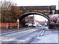
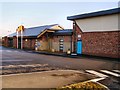
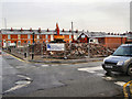
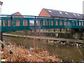
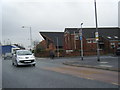
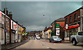
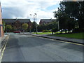
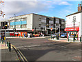
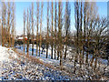
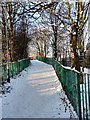
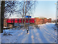
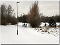
100 photos from this area
Area Information
Key information about the M26 1WD including its size, population, and administrative classification.
- Area Type
- Postcode
- Area Size
- 1.8 hectares
- Population
- 1766
- Population Density
- 3526 people/km²
House Prices in M26 1WD
33
Properties
£75,880
Average Sold Price
£35,000
Lowest Price
£140,000
Highest Price
Showing 33 properties
| Address | Type | Beds | Baths | Last Sale Price | Last Sale Date | |
|---|---|---|---|---|---|---|
| 18 Milltown Street, Radcliffe, M26 1WD | Terraced | 2 | - | £80,000 | Jul 2025 | |
| 14 Milltown Street, Radcliffe, M26 1WD | Terraced | 3 | 1 | £140,000 | Oct 2024 | |
| 27 Milltown Street, Radcliffe, M26 1WD | Terraced | 2 | 1 | £120,000 | Feb 2021 | |
| 15 Milltown Street, Radcliffe, M26 1WD | house | - | - | £57,500 | Dec 2019 | |
| 37 Milltown Street, Radcliffe, M26 1WD | Terraced | 3 | - | £119,995 | Dec 2019 | |
| 13 Milltown Street, Radcliffe, M26 1WD | Terraced | 3 | 1 | £80,000 | Sep 2019 | |
| 22 Milltown Street, Radcliffe, M26 1WD | Terraced | 2 | 1 | £87,000 | Oct 2017 | |
| 16 Milltown Street, Radcliffe, M26 1WD | Terraced | 2 | 1 | £79,750 | Aug 2017 | |
| 29 Milltown Street, Radcliffe, M26 1WD | Terraced | 2 | 1 | £90,000 | Aug 2017 | |
| 17 Milltown Street, Radcliffe, M26 1WD | Terraced | 1 | 1 | £60,000 | Jul 2017 |
Page 1 of 4
Energy Efficiency in M26 1WD
Amenities
Schools
| Rank | School | Type | Entry gender | Ages |
|---|
Explore more schools in this area
Go to Schools tabDemographics
Household Size
One person
most common
Accommodation Type
Houses
most common
Tenure
35
majority
Ethnic Group
White
most common
Religion
N/A
most common
Household Composition
N/A
most common
Age
47
median
Adults (30-64 years)
most common
Household Deprivation
N/A
with no deprivation
NS-SEC
18
in Lower managerial occupations
Explore more demographic insights in this area
Go to Demographics tabPlanning
Planning Constraints
- Flood RiskPremium
- Ramsar Wetland SitesPremium
- Area of Outstanding Natural BeautyPremium
- Protected Nature ReservePremium
- Protected WoodlandPremium