Area Overview for M26 1JU
Photos of M26 1JU
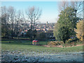
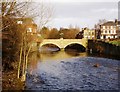
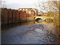
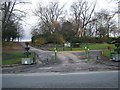
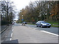
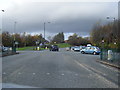
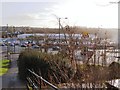
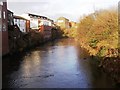

100 photos from this area
Area Information
Key information about the M26 1JU including its size, population, and administrative classification.
- Area Type
- Postcode
- Area Size
- 5080 m²
- Population
- 1766
- Population Density
- 3526 people/km²
House Prices in M26 1JU
23
Properties
£104,358
Average Sold Price
£55,000
Lowest Price
£195,000
Highest Price
Showing 23 properties
| Address | Type | Beds | Baths | Last Sale Price | Last Sale Date | |
|---|---|---|---|---|---|---|
| 92 Stand Lane, Radcliffe, M26 1JU | Retail | 3 | - | £158,000 | Mar 2023 | |
| 80A Stand Lane, Radcliffe, M26 1JU | house | 4 | - | £195,000 | Jan 2022 | |
| 106 Stand Lane, Radcliffe, M26 1JU | house | - | - | £145,000 | Dec 2021 | |
| 74 Stand Lane, Radcliffe, M26 1JU | house | - | - | £106,500 | Dec 2021 | |
| 80 Stand Lane, Radcliffe, M26 1JU | Terraced | 3 | 1 | £110,000 | Sep 2020 | |
| 108 Stand Lane, Radcliffe, M26 1JU | house | 2 | 1 | £85,000 | Jul 2020 | |
| 76 Stand Lane, Radcliffe, M26 1JU | Terraced | 2 | - | £75,000 | Jul 2013 | |
| 82A Stand Lane, Radcliffe, M26 1JU | Terraced | 4 | 2 | £57,000 | Dec 2012 | |
| 82C Stand Lane, Radcliffe, M26 1JU | Semi-detached | 4 | 1 | £57,000 | Nov 2012 | |
| 82B Stand Lane, Radcliffe, M26 1JU | Semi-detached | 3 | 1 | £55,000 | Oct 2012 |
Page 1 of 3
Energy Efficiency in M26 1JU
Amenities
Schools
| Rank | School | Type | Entry gender | Ages |
|---|
Explore more schools in this area
Go to Schools tabDemographics
Household Size
One person
most common
Accommodation Type
Houses
most common
Tenure
35
majority
Ethnic Group
White
most common
Religion
N/A
most common
Household Composition
N/A
most common
Age
47
median
Adults (30-64 years)
most common
Household Deprivation
N/A
with no deprivation
NS-SEC
18
in Lower managerial occupations
Explore more demographic insights in this area
Go to Demographics tabPlanning
Planning Constraints
- Flood RiskPremium
- Ramsar Wetland SitesPremium
- Area of Outstanding Natural BeautyPremium
- Protected Nature ReservePremium
- Protected WoodlandPremium