Area Overview for M26 1HZ
Photos of M26 1HZ

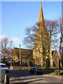
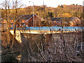
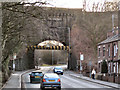
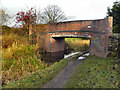
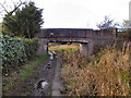

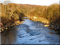
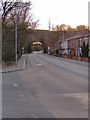
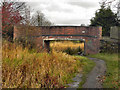
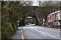
51 photos from this area
Area Information
Key information about the M26 1HZ including its size, population, and administrative classification.
- Area Type
- Postcode
- Area Size
- 1.5 hectares
- Population
- 2051
- Population Density
- 1892 people/km²
House Prices in M26 1HZ
45
Properties
£113,772
Average Sold Price
£33,400
Lowest Price
£189,000
Highest Price
Showing 45 properties
| Address | Type | Beds | Baths | Last Sale Price | Last Sale Date | |
|---|---|---|---|---|---|---|
| 14 Seddon Lane, Stoneclough Radcliffe, Bolton, M26 1HZ | Detached | 3 | 1 | £170,000 | Aug 2023 | |
| 6 Seddon Lane, Stoneclough Radcliffe, Bolton, M26 1HZ | house | - | - | £157,000 | Aug 2022 | |
| 4 Seddon Lane, Stoneclough Radcliffe, Bolton, M26 1HZ | house | - | - | £157,000 | Jun 2021 | |
| 19 Seddon Lane, Stoneclough Radcliffe, Bolton, M26 1HZ | Bungalow | - | - | £189,000 | Apr 2021 | |
| 27 Seddon Lane, Stoneclough Radcliffe, Bolton, M26 1HZ | Bungalow | 2 | 1 | £152,000 | May 2019 | |
| 54 Seddon Lane, Stoneclough Radcliffe, Bolton, M26 1HZ | Semi-detached | 2 | 1 | £132,500 | Nov 2018 | |
| 13 Seddon Lane, Stoneclough Radcliffe, Bolton, M26 1HZ | Semi-detached | - | - | £96,000 | May 2017 | |
| 7 Seddon Lane, Stoneclough Radcliffe, Bolton, M26 1HZ | Semi-detached | 2 | - | £148,000 | Feb 2017 | |
| 1 Seddon Lane, Stoneclough Radcliffe, Bolton, M26 1HZ | Bungalow | - | - | £100,352 | Oct 2016 | |
| 32 Seddon Lane, Stoneclough Radcliffe, Bolton, M26 1HZ | Semi-detached | 3 | 2 | £100,000 | Jun 2014 |
Page 1 of 5
Energy Efficiency in M26 1HZ
Amenities
Schools
| Rank | School | Type | Entry gender | Ages |
|---|
Explore more schools in this area
Go to Schools tabDemographics
Household Size
One person
most common
Accommodation Type
Houses
most common
Tenure
60
majority
Ethnic Group
White
most common
Religion
N/A
most common
Household Composition
N/A
most common
Age
47
median
Adults (30-64 years)
most common
Household Deprivation
N/A
with no deprivation
NS-SEC
32
in Lower managerial occupations
Explore more demographic insights in this area
Go to Demographics tabPlanning
Planning Constraints
- Flood RiskPremium
- Ramsar Wetland SitesPremium
- Area of Outstanding Natural BeautyPremium
- Protected Nature ReservePremium
- Protected WoodlandPremium