Area Overview for M26 1DW
Photos of M26 1DW
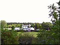
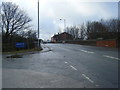
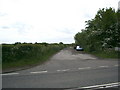
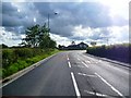
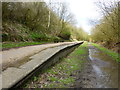
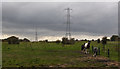
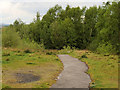
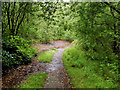
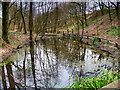
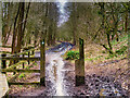
48 photos from this area
Area Information
Key information about the M26 1DW including its size, population, and administrative classification.
- Area Type
- Postcode
- Area Size
- 31.1 hectares
- Population
- 1462
- Population Density
- 393 people/km²
House Prices in M26 1DW
35
Properties
£137,267
Average Sold Price
£47,000
Lowest Price
£259,995
Highest Price
Showing 35 properties
| Address | Type | Beds | Baths | Last Sale Price | Last Sale Date | |
|---|---|---|---|---|---|---|
| 111 Ringley Road West, Radcliffe, M26 1DW | Terraced | 3 | 1 | £237,000 | Dec 2025 | |
| 147 Ringley Road West, Radcliffe, M26 1DW | house | - | - | £155,000 | Jul 2024 | |
| 151 Ringley Road West, Radcliffe, M26 1DW | Terraced | 2 | 1 | £188,000 | Jun 2023 | |
| 81A Ringley Road West, Radcliffe, M26 1DW | Retail | 2 | - | £259,995 | Nov 2022 | |
| 97 Ringley Road West, Radcliffe, M26 1DW | house | - | - | £210,000 | Nov 2022 | |
| 91 Ringley Road West, Radcliffe, M26 1DW | Retail | 2 | 1 | £190,000 | Oct 2022 | |
| 101 Ringley Road West, Radcliffe, M26 1DW | Terraced | 3 | 2 | £160,000 | Oct 2020 | |
| 89 Ringley Road West, Radcliffe, M26 1DW | Terraced | 2 | 1 | £155,000 | May 2019 | |
| 99 Ringley Road West, Radcliffe, M26 1DW | Terraced | 2 | 1 | £185,000 | Oct 2018 | |
| 113 Ringley Road West, Radcliffe, M26 1DW | Terraced | 3 | 1 | £163,000 | Jul 2018 |
Page 1 of 4
Energy Efficiency in M26 1DW
Amenities
Schools
| Rank | School | Type | Entry gender | Ages |
|---|
Explore more schools in this area
Go to Schools tabDemographics
Household Size
Two person
most common
Accommodation Type
Houses
most common
Tenure
89
majority
Ethnic Group
White
most common
Religion
N/A
most common
Household Composition
N/A
most common
Age
47
median
Adults (30-64 years)
most common
Household Deprivation
N/A
with no deprivation
NS-SEC
50
in Lower managerial occupations
Explore more demographic insights in this area
Go to Demographics tabPlanning
Planning Constraints
- Flood RiskPremium
- Ramsar Wetland SitesPremium
- Area of Outstanding Natural BeautyPremium
- Protected Nature ReservePremium
- Protected WoodlandPremium