Area Overview for M26 1BG
Photos of M26 1BG
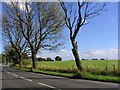
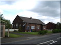
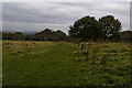
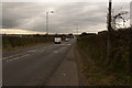
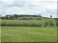
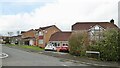
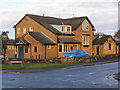
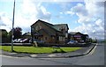
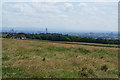
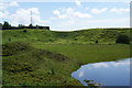
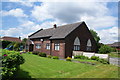
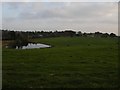
15 photos from this area
Area Information
Key information about the M26 1BG including its size, population, and administrative classification.
- Area Type
- Postcode
- Area Size
- 1.8 hectares
- Population
- 1606
- Population Density
- 632 people/km²
House Prices in M26 1BG
22
Properties
£86,910
Average Sold Price
£42,000
Lowest Price
£185,000
Highest Price
Showing 22 properties
| Address | Type | Beds | Baths | Last Sale Price | Last Sale Date | |
|---|---|---|---|---|---|---|
| 142 Outwood Road, Radcliffe, M26 1BG | house | - | - | £185,000 | Mar 2022 | |
| 130 Outwood Road, Radcliffe, M26 1BG | Semi-detached | - | - | £105,000 | May 2018 | |
| 148 Outwood Road, Radcliffe, M26 1BG | Bungalow | 2 | 1 | £152,000 | Apr 2017 | |
| 136 Outwood Road, Radcliffe, M26 1BG | house | - | - | £90,000 | Apr 2016 | |
| 124 Outwood Road, Radcliffe, M26 1BG | house | 3 | - | £94,000 | Jul 2011 | |
| 162 Outwood Road, Radcliffe, M26 1BG | house | 3 | - | £133,000 | May 2008 | |
| 134 Outwood Road, Radcliffe, M26 1BG | Semi-detached | - | - | £78,000 | Sep 2003 | |
| 152 Outwood Road, Radcliffe, M26 1BG | Detached | - | - | £112,000 | Nov 2001 | |
| 140 Outwood Road, Radcliffe, M26 1BG | Semi-detached | - | - | £59,000 | Jul 2001 | |
| 156 Outwood Road, Radcliffe, M26 1BG | house | - | - | £59,950 | Feb 2001 |
Page 1 of 3
Energy Efficiency in M26 1BG
Amenities
Schools
| Rank | School | Type | Entry gender | Ages |
|---|
Explore more schools in this area
Go to Schools tabDemographics
Household Size
Family (3-5 people)
most common
Accommodation Type
Houses
most common
Tenure
80
majority
Ethnic Group
White
most common
Religion
N/A
most common
Household Composition
N/A
most common
Age
47
median
Adults (30-64 years)
most common
Household Deprivation
N/A
with no deprivation
NS-SEC
36
in Lower managerial occupations
Explore more demographic insights in this area
Go to Demographics tabPlanning
Planning Constraints
- Flood RiskPremium
- Ramsar Wetland SitesPremium
- Area of Outstanding Natural BeautyPremium
- Protected Nature ReservePremium
- Protected WoodlandPremium