Area Overview for M25 9WG
Photos of M25 9WG
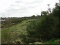
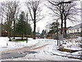
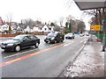
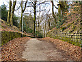
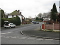
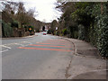
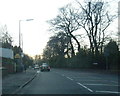
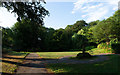

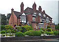
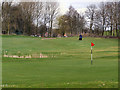
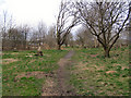
33 photos from this area
Area Information
Key information about the M25 9WG including its size, population, and administrative classification.
- Area Type
- Postcode
- Area Size
- 4831 m²
- Population
- 1675
- Population Density
- 3507 people/km²
House Prices in M25 9WG
15
Properties
£176,132
Average Sold Price
£51,500
Lowest Price
£305,000
Highest Price
Showing 15 properties
| Address | Type | Beds | Baths | Last Sale Price | Last Sale Date | |
|---|---|---|---|---|---|---|
| 36 Bland Road, Prestwich, M25 9WG | house | - | - | £305,000 | Nov 2022 | |
| 38 Bland Road, Prestwich, M25 9WG | house | - | - | £215,000 | Aug 2017 | |
| 43 Bland Road, Prestwich, M25 9WG | house | 3 | 1 | £218,000 | May 2016 | |
| 40 Bland Road, Prestwich, M25 9WG | Semi-detached | 3 | 1 | £246,000 | Nov 2015 | |
| 41 Bland Road, Prestwich, M25 9WG | Semi-detached | - | - | £225,000 | Mar 2013 | |
| 39 Bland Road, Prestwich, M25 9WG | Semi-detached | 3 | 2 | £160,000 | Nov 2011 | |
| 55 Bland Road, Prestwich, M25 9WG | Semi-detached | - | - | £175,000 | Aug 2008 | |
| 53 Bland Road, Prestwich, M25 9WG | Semi-detached | - | - | £170,000 | Jul 2008 | |
| 32 Bland Road, Prestwich, M25 9WG | Detached | 3 | 1 | £111,950 | May 2001 | |
| 51 Bland Road, Prestwich, M25 9WG | Semi-detached | 3 | 1 | £60,000 | Mar 2000 |
Page 1 of 2
Energy Efficiency in M25 9WG
Amenities
Schools
| Rank | School | Type | Entry gender | Ages |
|---|
Explore more schools in this area
Go to Schools tabDemographics
Household Size
Family (3-5 people)
most common
Accommodation Type
Houses
most common
Tenure
72
majority
Ethnic Group
White
most common
Religion
N/A
most common
Household Composition
N/A
most common
Age
47
median
Adults (30-64 years)
most common
Household Deprivation
N/A
with no deprivation
NS-SEC
44
in Lower managerial occupations
Explore more demographic insights in this area
Go to Demographics tabPlanning
Planning Constraints
- Flood RiskPremium
- Ramsar Wetland SitesPremium
- Area of Outstanding Natural BeautyPremium
- Protected Nature ReservePremium
- Protected WoodlandPremium