Area Overview for M25 9TB
Photos of M25 9TB
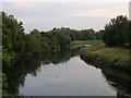
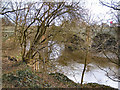
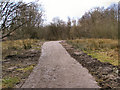
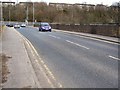
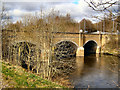
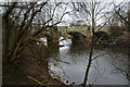
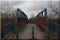
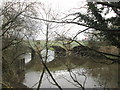
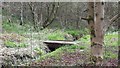
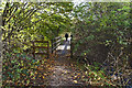
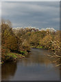
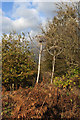
39 photos from this area
Area Information
Key information about the M25 9TB including its size, population, and administrative classification.
- Area Type
- Postcode
- Area Size
- 5732 m²
- Population
- 1533
- Population Density
- 4071 people/km²
House Prices in M25 9TB
23
Properties
£112,958
Average Sold Price
£51,000
Lowest Price
£243,000
Highest Price
Showing 23 properties
| Address | Type | Beds | Baths | Last Sale Price | Last Sale Date | |
|---|---|---|---|---|---|---|
| 16 Fitzgerald Close, Prestwich, M25 9TB | Terraced | 2 | 1 | £180,000 | Oct 2024 | |
| 7 Fitzgerald Close, Prestwich, M25 9TB | Semi-detached | 3 | 1 | £243,000 | Aug 2022 | |
| 1 Fitzgerald Close, Prestwich, M25 9TB | Semi-detached | 2 | 1 | £200,000 | Jan 2022 | |
| 6 Fitzgerald Close, Prestwich, M25 9TB | Terraced | 2 | 1 | £90,000 | Aug 2015 | |
| 26 Fitzgerald Close, Prestwich, M25 9TB | house | - | - | £112,500 | Aug 2013 | |
| 3 Fitzgerald Close, Prestwich, M25 9TB | house | - | - | £110,000 | Nov 2009 | |
| 15 Fitzgerald Close, Prestwich, M25 9TB | house | - | - | £135,000 | Dec 2005 | |
| 8 Fitzgerald Close, Prestwich, M25 9TB | Terraced | 3 | 1 | £97,500 | Oct 2004 | |
| 12 Fitzgerald Close, Prestwich, M25 9TB | Terraced | 2 | 1 | £90,000 | Feb 2004 | |
| 4 Fitzgerald Close, Prestwich, M25 9TB | house | 2 | 1 | £51,000 | Nov 2001 |
Page 1 of 3
Energy Efficiency in M25 9TB
Amenities
Schools
| Rank | School | Type | Entry gender | Ages |
|---|
Explore more schools in this area
Go to Schools tabDemographics
Household Size
Family (3-5 people)
most common
Accommodation Type
Houses
most common
Tenure
62
majority
Ethnic Group
White
most common
Religion
N/A
most common
Household Composition
N/A
most common
Age
47
median
Adults (30-64 years)
most common
Household Deprivation
N/A
with no deprivation
NS-SEC
28
in Lower managerial occupations
Explore more demographic insights in this area
Go to Demographics tabPlanning
Planning Constraints
- Flood RiskPremium
- Ramsar Wetland SitesPremium
- Area of Outstanding Natural BeautyPremium
- Protected Nature ReservePremium
- Protected WoodlandPremium