Area Overview for M25 9PE
Photos of M25 9PE
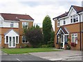
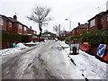
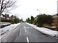
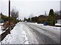
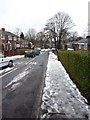
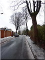
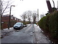
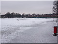
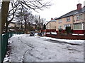

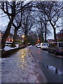
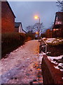
80 photos from this area
Area Information
Key information about the M25 9PE including its size, population, and administrative classification.
- Area Type
- Postcode
- Area Size
- 2.0 hectares
- Population
- 1982
- Population Density
- 4796 people/km²
House Prices in M25 9PE
43
Properties
£448,471
Average Sold Price
£89,950
Lowest Price
£830,000
Highest Price
Showing 43 properties
| Address | Type | Beds | Baths | Last Sale Price | Last Sale Date | |
|---|---|---|---|---|---|---|
| 4 Prestwich Park Road South, Prestwich, M25 9PE | Semi-detached | 3 | 1 | £325,000 | Sep 2025 | |
| 28 Prestwich Park Road South, Prestwich, M25 9PE | Semi-detached | 5 | 3 | £800,000 | Feb 2025 | |
| 30 Prestwich Park Road South, Prestwich, M25 9PE | house | - | - | £830,000 | Jan 2023 | |
| 10 Prestwich Park Road South, Prestwich, M25 9PE | house | - | - | £305,000 | Feb 2022 | |
| 26 Prestwich Park Road South, Prestwich, M25 9PE | Semi-detached | 6 | 3 | £670,000 | Feb 2020 | |
| 38 Prestwich Park Road South, Prestwich, M25 9PE | Semi-detached | 6 | 1 | £680,000 | Oct 2018 | |
| 14 Prestwich Park Road South, Prestwich, M25 9PE | Semi-detached | 5 | - | £771,000 | Mar 2018 | |
| 42 Prestwich Park Road South, Prestwich, M25 9PE | house | - | - | £350,000 | Jul 2016 | |
| 20 Prestwich Park Road South, Prestwich, M25 9PE | Semi-detached | 6 | 4 | £500,000 | Jul 2014 | |
| 46 Prestwich Park Road South, Prestwich, M25 9PE | house | 5 | - | £590,000 | Feb 2011 |
Page 1 of 5
Energy Efficiency in M25 9PE
Amenities
Schools
| Rank | School | Type | Entry gender | Ages |
|---|
Explore more schools in this area
Go to Schools tabDemographics
Household Size
One person
most common
Accommodation Type
Flats
most common
Tenure
34
majority
Ethnic Group
White
most common
Religion
N/A
most common
Household Composition
N/A
most common
Age
47
median
Adults (30-64 years)
most common
Household Deprivation
N/A
with no deprivation
NS-SEC
38
in Lower managerial occupations
Explore more demographic insights in this area
Go to Demographics tabPlanning
Planning Constraints
- Flood RiskPremium
- Ramsar Wetland SitesPremium
- Area of Outstanding Natural BeautyPremium
- Protected Nature ReservePremium
- Protected WoodlandPremium