Area Overview for M25 3DU
Photos of M25 3DU
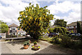
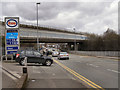
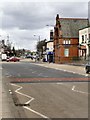
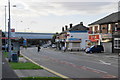
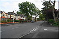
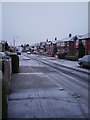
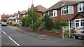
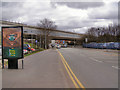
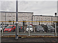
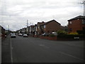
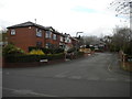
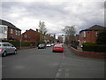
80 photos from this area
Area Information
Key information about the M25 3DU including its size, population, and administrative classification.
- Area Type
- Postcode
- Area Size
- 7585 m²
- Population
- 1790
- Population Density
- 2772 people/km²
House Prices in M25 3DU
12
Properties
£167,486
Average Sold Price
£24,000
Lowest Price
£372,500
Highest Price
Showing 12 properties
| Address | Type | Beds | Baths | Last Sale Price | Last Sale Date | |
|---|---|---|---|---|---|---|
| 27 Nursery Road, Prestwich, M25 3DU | house | - | - | £372,500 | Sep 2022 | |
| 19 Nursery Road, Prestwich, M25 3DU | Semi-detached | 3 | 1 | £290,000 | Apr 2016 | |
| 41 Nursery Road, Prestwich, M25 3DU | Semi-detached | - | - | £159,000 | Apr 2010 | |
| 29 Nursery Road, Prestwich, M25 3DU | Semi-detached | - | - | £144,950 | Oct 2002 | |
| 39 Nursery Road, Prestwich, M25 3DU | Semi-detached | - | - | £24,000 | Jan 2001 | |
| 35 Nursery Road, Prestwich, M25 3DU | Semi-detached | - | - | £44,950 | Jan 1999 | |
| 23 Nursery Road, Prestwich, M25 3DU | Semi-detached | - | - | £137,000 | Feb 1997 | |
| 21 Nursery Road, Prestwich, M25 3DU | Semi-detached | - | - | - | - | |
| 33 Nursery Road, Prestwich, M25 3DU | Semi-detached | - | - | - | - | |
| 25 Nursery Road, Prestwich, M25 3DU | Semi-detached | - | - | - | - |
Page 1 of 2
Energy Efficiency in M25 3DU
Amenities
Schools
| Rank | School | Type | Entry gender | Ages |
|---|
Explore more schools in this area
Go to Schools tabDemographics
Household Size
Two person
most common
Accommodation Type
Houses
most common
Tenure
81
majority
Ethnic Group
White
most common
Religion
N/A
most common
Household Composition
N/A
most common
Age
47
median
Adults (30-64 years)
most common
Household Deprivation
N/A
with no deprivation
NS-SEC
47
in Lower managerial occupations
Explore more demographic insights in this area
Go to Demographics tabPlanning
Planning Constraints
- Flood RiskPremium
- Ramsar Wetland SitesPremium
- Area of Outstanding Natural BeautyPremium
- Protected Nature ReservePremium
- Protected WoodlandPremium