Area Overview for M25 1FN
Photos of M25 1FN
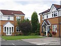
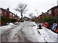
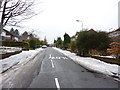
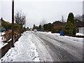
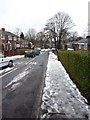
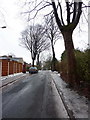
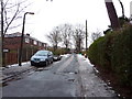
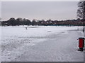
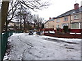

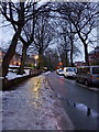
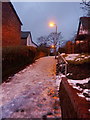
80 photos from this area
Area Information
Key information about the M25 1FN including its size, population, and administrative classification.
- Area Type
- Postcode
- Area Size
- 1.5 hectares
- Population
- 1619
- Population Density
- 5158 people/km²
House Prices in M25 1FN
32
Properties
£205,302
Average Sold Price
£45,000
Lowest Price
£357,500
Highest Price
Showing 32 properties
| Address | Type | Beds | Baths | Last Sale Price | Last Sale Date | |
|---|---|---|---|---|---|---|
| 80 Heywood Road, Prestwich, M25 1FN | Detached | 3 | 1 | £290,000 | Oct 2025 | |
| 79 Heywood Road, Prestwich, M25 1FN | Semi-detached | 3 | 1 | £357,500 | Sep 2025 | |
| 91 Heywood Road, Prestwich, M25 1FN | Semi-detached | 3 | 1 | £170,000 | Aug 2025 | |
| 72 Heywood Road, Prestwich, M25 1FN | house | - | - | £339,000 | Mar 2023 | |
| 69 Heywood Road, Prestwich, M25 1FN | Retail | 3 | 1 | £315,000 | Apr 2022 | |
| 78 Heywood Road, Prestwich, M25 1FN | house | - | - | £230,000 | Sep 2021 | |
| 60 Heywood Road, Prestwich, M25 1FN | Semi-detached | 3 | 1 | £260,000 | Aug 2021 | |
| 82 Heywood Road, Prestwich, M25 1FN | house | - | - | £300,000 | Mar 2021 | |
| 61 Heywood Road, Prestwich, M25 1FN | Semi-detached | 3 | 1 | £295,950 | Oct 2020 | |
| 84 Heywood Road, Prestwich, M25 1FN | house | 4 | 2 | £288,000 | Sep 2019 |
Page 1 of 4
Energy Efficiency in M25 1FN
Amenities
Schools
| Rank | School | Type | Entry gender | Ages |
|---|
Explore more schools in this area
Go to Schools tabDemographics
Household Size
One person
most common
Accommodation Type
Houses
most common
Tenure
75
majority
Ethnic Group
White
most common
Religion
N/A
most common
Household Composition
N/A
most common
Age
47
median
Adults (30-64 years)
most common
Household Deprivation
N/A
with no deprivation
NS-SEC
41
in Lower managerial occupations
Explore more demographic insights in this area
Go to Demographics tabPlanning
Planning Constraints
- Flood RiskPremium
- Ramsar Wetland SitesPremium
- Area of Outstanding Natural BeautyPremium
- Protected Nature ReservePremium
- Protected WoodlandPremium