Area Overview for M25 1EA
Photos of M25 1EA
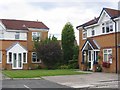
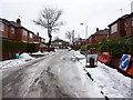
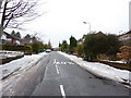
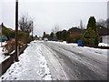
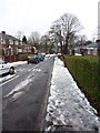
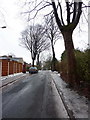
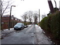
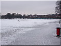
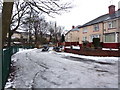

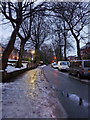
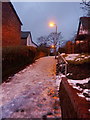
80 photos from this area
Area Information
Key information about the M25 1EA including its size, population, and administrative classification.
- Area Type
- Postcode
- Area Size
- 7437 m²
- Population
- 1619
- Population Density
- 5158 people/km²
House Prices in M25 1EA
22
Properties
£146,050
Average Sold Price
£30,000
Lowest Price
£318,880
Highest Price
Showing 22 properties
| Address | Type | Beds | Baths | Last Sale Price | Last Sale Date | |
|---|---|---|---|---|---|---|
| 12 Bannerman Avenue, Prestwich, M25 1EA | house | - | - | £318,880 | Nov 2022 | |
| 1 Bannerman Avenue, Prestwich, M25 1EA | Terraced | 3 | 1 | £222,000 | Jan 2021 | |
| 17 Bannerman Avenue, Prestwich, M25 1EA | Semi-detached | 3 | 1 | £165,000 | Feb 2019 | |
| 6 Bannerman Avenue, Prestwich, M25 1EA | Semi-detached | 3 | 1 | £143,500 | May 2018 | |
| 7 Bannerman Avenue, Prestwich, M25 1EA | Semi-detached | 3 | - | £165,000 | Dec 2017 | |
| 3 Bannerman Avenue, Prestwich, M25 1EA | house | - | - | £134,000 | Jul 2017 | |
| 13 Bannerman Avenue, Prestwich, M25 1EA | Semi-detached | 3 | 1 | £188,200 | Feb 2016 | |
| 8 Bannerman Avenue, Prestwich, M25 1EA | house | - | - | £85,000 | Mar 2015 | |
| 16 Bannerman Avenue, Prestwich, M25 1EA | Semi-detached | 3 | 1 | £120,000 | Jul 2007 | |
| 10 Bannerman Avenue, Prestwich, M25 1EA | Semi-detached | - | - | £133,020 | Oct 2006 |
Page 1 of 3
Energy Efficiency in M25 1EA
Amenities
Schools
| Rank | School | Type | Entry gender | Ages |
|---|
Explore more schools in this area
Go to Schools tabDemographics
Household Size
One person
most common
Accommodation Type
Houses
most common
Tenure
75
majority
Ethnic Group
White
most common
Religion
N/A
most common
Household Composition
N/A
most common
Age
47
median
Adults (30-64 years)
most common
Household Deprivation
N/A
with no deprivation
NS-SEC
41
in Lower managerial occupations
Explore more demographic insights in this area
Go to Demographics tabPlanning
Planning Constraints
- Flood RiskPremium
- Ramsar Wetland SitesPremium
- Area of Outstanding Natural BeautyPremium
- Protected Nature ReservePremium
- Protected WoodlandPremium