Area Overview for M25 0LX
Photos of M25 0LX
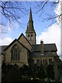
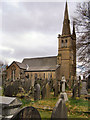
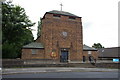
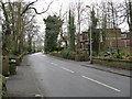
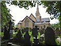
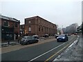
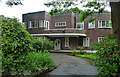
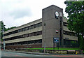
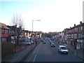
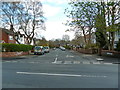
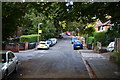
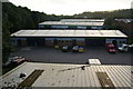
35 photos from this area
Area Information
Key information about the M25 0LX including its size, population, and administrative classification.
- Area Type
- Postcode
- Area Size
- 1.8 hectares
- Population
- 1964
- Population Density
- 13639 people/km²
House Prices in M25 0LX
54
Properties
£194,182
Average Sold Price
£51,250
Lowest Price
£425,000
Highest Price
Showing 54 properties
| Address | Type | Beds | Baths | Last Sale Price | Last Sale Date | |
|---|---|---|---|---|---|---|
| 48 Albert Avenue, Prestwich, M25 0LX | Semi-detached | 3 | 1 | £425,000 | Aug 2024 | |
| 66 Albert Avenue, Prestwich, M25 0LX | Semi-detached | 3 | 1 | £275,000 | Oct 2023 | |
| 52 Albert Avenue, Prestwich, M25 0LX | house | - | - | £240,000 | May 2021 | |
| 72A Albert Avenue, Prestwich, M25 0LX | Detached | 3 | 2 | £360,000 | Nov 2020 | |
| 68 Albert Avenue, Prestwich, M25 0LX | house | - | - | £220,000 | Sep 2018 | |
| 44 Albert Avenue, Prestwich, M25 0LX | Semi-detached | 3 | 1 | £220,000 | Feb 2017 | |
| 42 Albert Avenue, Prestwich, M25 0LX | Semi-detached | 4 | 2 | £210,000 | Oct 2015 | |
| 46 Albert Avenue, Prestwich, M25 0LX | Semi-detached | 3 | 1 | £183,500 | Feb 2014 | |
| 38 Albert Avenue, Prestwich, M25 0LX | house | - | - | £150,000 | Oct 2010 | |
| 70 Albert Avenue, Prestwich, M25 0LX | house | - | - | £174,950 | Mar 2009 |
Page 1 of 6
Energy Efficiency in M25 0LX
Amenities
Schools
| Rank | School | Type | Entry gender | Ages |
|---|
Explore more schools in this area
Go to Schools tabDemographics
Household Size
Large (6+ people)
most common
Accommodation Type
Houses
most common
Tenure
55
majority
Ethnic Group
White
most common
Religion
N/A
most common
Household Composition
N/A
most common
Age
22
median
Children (0-14 years)
most common
Household Deprivation
N/A
with no deprivation
NS-SEC
35
in Lower managerial occupations
Explore more demographic insights in this area
Go to Demographics tabPlanning
Planning Constraints
- Flood RiskPremium
- Ramsar Wetland SitesPremium
- Area of Outstanding Natural BeautyPremium
- Protected Nature ReservePremium
- Protected WoodlandPremium