Area Overview for M25 0JE
Photos of M25 0JE
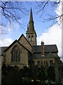
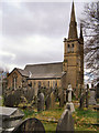
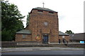
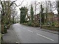

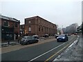
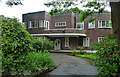


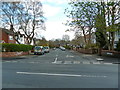
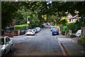
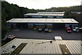
35 photos from this area
Area Information
Key information about the M25 0JE including its size, population, and administrative classification.
- Area Type
- Postcode
- Area Size
- 7768 m²
- Population
- 1947
- Population Density
- 8753 people/km²
House Prices in M25 0JE
19
Properties
£259,300
Average Sold Price
£57,000
Lowest Price
£460,000
Highest Price
Showing 19 properties
| Address | Type | Beds | Baths | Last Sale Price | Last Sale Date | |
|---|---|---|---|---|---|---|
| 17 Parksway, Prestwich, M25 0JE | Retail | 3 | 2 | £435,000 | Apr 2022 | |
| 5 Parksway, Prestwich, M25 0JE | house | - | - | £460,000 | May 2021 | |
| 18 Parksway, Prestwich, M25 0JE | Semi-detached | 5 | 2 | £415,000 | Sep 2019 | |
| 16 Parksway, Prestwich, M25 0JE | Semi-detached | 3 | 1 | £317,000 | Sep 2019 | |
| 4 Parksway, Prestwich, M25 0JE | house | - | - | £217,500 | Jun 2016 | |
| 11 Parksway, Prestwich, M25 0JE | Semi-detached | 4 | 3 | £350,000 | Apr 2016 | |
| 1 Parksway, Prestwich, M25 0JE | Semi-detached | 6 | 4 | £445,000 | Jan 2016 | |
| 3 Parksway, Prestwich, M25 0JE | house | - | - | £250,000 | Dec 2013 | |
| 8 Parksway, Prestwich, M25 0JE | Semi-detached | - | - | £198,500 | Oct 2010 | |
| 10 Parksway, Prestwich, M25 0JE | house | - | - | £133,000 | Jul 2006 |
Page 1 of 2
Energy Efficiency in M25 0JE
Amenities
Schools
| Rank | School | Type | Entry gender | Ages |
|---|
Explore more schools in this area
Go to Schools tabDemographics
Household Size
Family (3-5 people)
most common
Accommodation Type
Houses
most common
Tenure
75
majority
Ethnic Group
White
most common
Religion
N/A
most common
Household Composition
N/A
most common
Age
22
median
Children (0-14 years)
most common
Household Deprivation
N/A
with no deprivation
NS-SEC
38
in Lower managerial occupations
Explore more demographic insights in this area
Go to Demographics tabPlanning
Planning Constraints
- Flood RiskPremium
- Ramsar Wetland SitesPremium
- Area of Outstanding Natural BeautyPremium
- Protected Nature ReservePremium
- Protected WoodlandPremium