Area Overview for M25 0HE
Photos of M25 0HE
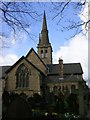
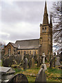
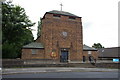
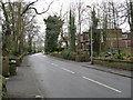
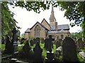
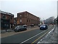
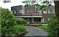
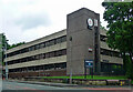
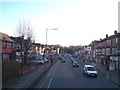
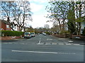
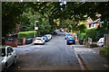
35 photos from this area
Area Information
Key information about the M25 0HE including its size, population, and administrative classification.
- Area Type
- Postcode
- Area Size
- 1.6 hectares
- Population
- 1947
- Population Density
- 8753 people/km²
House Prices in M25 0HE
41
Properties
£175,286
Average Sold Price
£43,500
Lowest Price
£345,000
Highest Price
Showing 41 properties
| Address | Type | Beds | Baths | Last Sale Price | Last Sale Date | |
|---|---|---|---|---|---|---|
| 117 Albert Avenue, Prestwich, M25 0HE | Semi-detached | 4 | 1 | £345,000 | Jun 2025 | |
| 128 Albert Avenue, Prestwich, M25 0HE | Semi-detached | - | - | £335,000 | Sep 2022 | |
| Former, 160 Albert Avenue, Prestwich, M25 0HE | Detached | - | - | £270,000 | Apr 2022 | |
| 152 Albert Avenue, Prestwich, M25 0HE | Semi-detached | 3 | 1 | £252,000 | Sep 2020 | |
| 158 Albert Avenue, Prestwich, M25 0HE | house | - | - | £210,000 | Dec 2016 | |
| 142 Albert Avenue, Prestwich, M25 0HE | house | - | - | £174,000 | Oct 2015 | |
| 111 Albert Avenue, Prestwich, M25 0HE | Semi-detached | 4 | 1 | £217,000 | May 2015 | |
| 156 Albert Avenue, Prestwich, M25 0HE | Semi-detached | 4 | 2 | £206,000 | Feb 2014 | |
| 144 Albert Avenue, Prestwich, M25 0HE | Semi-detached | 3 | 1 | £171,500 | Oct 2011 | |
| 150 Albert Avenue, Prestwich, M25 0HE | Semi-detached | 4 | 2 | £56,000 | May 2010 |
Page 1 of 5
Energy Efficiency in M25 0HE
Amenities
Schools
| Rank | School | Type | Entry gender | Ages |
|---|
Explore more schools in this area
Go to Schools tabDemographics
Household Size
Family (3-5 people)
most common
Accommodation Type
Houses
most common
Tenure
75
majority
Ethnic Group
White
most common
Religion
N/A
most common
Household Composition
N/A
most common
Age
22
median
Children (0-14 years)
most common
Household Deprivation
N/A
with no deprivation
NS-SEC
38
in Lower managerial occupations
Explore more demographic insights in this area
Go to Demographics tabPlanning
Planning Constraints
- Flood RiskPremium
- Ramsar Wetland SitesPremium
- Area of Outstanding Natural BeautyPremium
- Protected Nature ReservePremium
- Protected WoodlandPremium