Area Overview for M25 0ES
Photos of M25 0ES
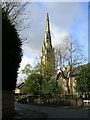
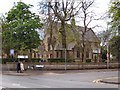
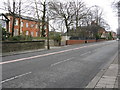
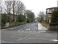
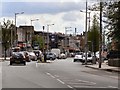
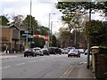
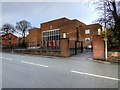
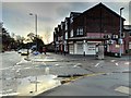
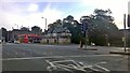
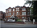
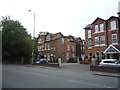
38 photos from this area
Area Information
Key information about the M25 0ES including its size, population, and administrative classification.
- Area Type
- Postcode
- Area Size
- 8325 m²
- Population
- 1857
- Population Density
- 5604 people/km²
House Prices in M25 0ES
18
Properties
£346,500
Average Sold Price
£103,000
Lowest Price
£595,000
Highest Price
Showing 18 properties
| Address | Type | Beds | Baths | Last Sale Price | Last Sale Date | |
|---|---|---|---|---|---|---|
| 47 Park Road, Prestwich, M25 0ES | Semi-detached | 4 | 2 | £487,500 | Sep 2024 | |
| 53 Park Road, Prestwich, M25 0ES | Semi-detached | 4 | 1 | £485,000 | Jun 2022 | |
| 37 Park Road, Prestwich, M25 0ES | house | - | - | £550,000 | Feb 2017 | |
| 43 Park Road, Prestwich, M25 0ES | Semi-detached | 4 | - | £270,000 | Dec 2015 | |
| 41 Park Road, Prestwich, M25 0ES | Semi-detached | 4 | - | £331,000 | Aug 2015 | |
| 39 Park Road, Prestwich, M25 0ES | Detached | 4 | 2 | £187,500 | Dec 2013 | |
| 51 Park Road, Prestwich, M25 0ES | Semi-detached | 4 | 1 | £318,000 | Dec 2009 | |
| 45 Park Road, Prestwich, M25 0ES | Semi-detached | 4 | 1 | £320,000 | May 2006 | |
| 35 Park Road, Prestwich, M25 0ES | Detached | - | - | £595,000 | Jul 2004 | |
| 55 Park Road, Prestwich, M25 0ES | house | - | - | £103,000 | Nov 1999 |
Page 1 of 2
Energy Efficiency in M25 0ES
Amenities
Schools
| Rank | School | Type | Entry gender | Ages |
|---|
Explore more schools in this area
Go to Schools tabDemographics
Household Size
Family (3-5 people)
most common
Accommodation Type
Houses
most common
Tenure
81
majority
Ethnic Group
White
most common
Religion
N/A
most common
Household Composition
N/A
most common
Age
47
median
Adults (30-64 years)
most common
Household Deprivation
N/A
with no deprivation
NS-SEC
39
in Lower managerial occupations
Explore more demographic insights in this area
Go to Demographics tabPlanning
Planning Constraints
- Flood RiskPremium
- Ramsar Wetland SitesPremium
- Area of Outstanding Natural BeautyPremium
- Protected Nature ReservePremium
- Protected WoodlandPremium