Area Overview for M24 5LD
Photos of M24 5LD
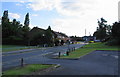
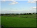
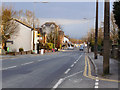
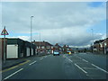
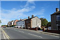
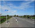
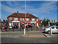
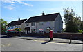
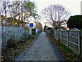
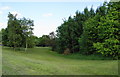
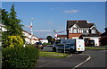
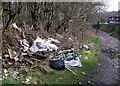
24 photos from this area
Area Information
Key information about the M24 5LD including its size, population, and administrative classification.
- Area Type
- Postcode
- Area Size
- 4828 m²
- Population
- 1907
- Population Density
- 788 people/km²
House Prices in M24 5LD
16
Properties
£115,361
Average Sold Price
£2,300
Lowest Price
£375,000
Highest Price
Showing 16 properties
| Address | Type | Beds | Baths | Last Sale Price | Last Sale Date | |
|---|---|---|---|---|---|---|
| 182 Hollin Lane, Middleton, M24 5LD | house | - | - | £135,000 | Jul 2025 | |
| 162 Hollin Lane, Middleton, M24 5LD | Semi-detached | 5 | 3 | £375,000 | Aug 2023 | |
| 164 Hollin Lane, Middleton, M24 5LD | Bungalow | - | - | £281,000 | Jul 2022 | |
| 176 Hollin Lane, Middleton, M24 5LD | Terraced | 2 | 1 | £80,000 | Jan 2020 | |
| 188 Hollin Lane, Middleton, M24 5LD | Terraced | 2 | 1 | £83,500 | May 2018 | |
| 160 Hollin Lane, Middleton, M24 5LD | Semi-detached | 4 | 1 | £235,000 | Aug 2017 | |
| 174 Hollin Lane, Middleton, M24 5LD | house | - | - | £30,000 | Jan 2016 | |
| 184 Hollin Lane, Middleton, M24 5LD | Terraced | 2 | 1 | £2,300 | Nov 2015 | |
| 180 Hollin Lane, Middleton, M24 5LD | Semi-detached | - | - | £2,300 | Nov 2015 | |
| 170 Hollin Lane, Middleton, M24 5LD | Bungalow | - | - | £50,000 | Apr 2007 |
Page 1 of 2
Energy Efficiency in M24 5LD
Amenities
Schools
| Rank | School | Type | Entry gender | Ages |
|---|
Explore more schools in this area
Go to Schools tabDemographics
Household Size
Family (3-5 people)
most common
Accommodation Type
Houses
most common
Tenure
62
majority
Ethnic Group
White
most common
Religion
N/A
most common
Household Composition
N/A
most common
Age
47
median
Adults (30-64 years)
most common
Household Deprivation
N/A
with no deprivation
NS-SEC
27
in Lower managerial occupations
Explore more demographic insights in this area
Go to Demographics tabPlanning
Planning Constraints
- Flood RiskPremium
- Ramsar Wetland SitesPremium
- Area of Outstanding Natural BeautyPremium
- Protected Nature ReservePremium
- Protected WoodlandPremium