Area Overview for M24 5GW
Photos of M24 5GW
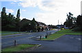
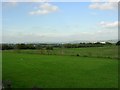
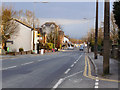
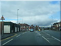
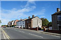
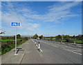
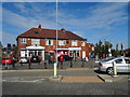
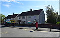
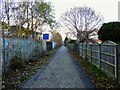
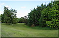

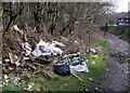
24 photos from this area
Area Information
Key information about the M24 5GW including its size, population, and administrative classification.
- Area Type
- Postcode
- Area Size
- 1.8 hectares
- Population
- 2059
- Population Density
- 4779 people/km²
House Prices in M24 5GW
53
Properties
£174,871
Average Sold Price
£11,000
Lowest Price
£325,000
Highest Price
Showing 53 properties
| Address | Type | Beds | Baths | Last Sale Price | Last Sale Date | |
|---|---|---|---|---|---|---|
| 131 Mosedale Road, Middleton, M24 5GW | Detached | 3 | 1 | £260,000 | Aug 2025 | |
| 129 Mosedale Road, Middleton, M24 5GW | house | - | - | £245,000 | Mar 2025 | |
| 105 Mosedale Road, Middleton, M24 5GW | house | - | - | £325,000 | Mar 2025 | |
| 67 Mosedale Road, Middleton, M24 5GW | Semi-detached | 3 | 2 | £210,000 | May 2023 | |
| 145 Mosedale Road, Middleton, M24 5GW | house | - | - | £250,000 | Jul 2022 | |
| 115 Mosedale Road, Middleton, M24 5GW | house | - | - | £220,000 | Jan 2022 | |
| 41 Mosedale Road, Middleton, M24 5GW | house | - | - | £135,000 | Sep 2021 | |
| 63 Mosedale Road, Middleton, M24 5GW | house | - | - | £190,000 | Apr 2021 | |
| 147 Mosedale Road, Middleton, M24 5GW | Detached | 3 | 2 | £188,995 | Mar 2021 | |
| 143 Mosedale Road, Middleton, M24 5GW | Detached | 2 | 2 | £162,995 | Mar 2021 |
Page 1 of 6
Energy Efficiency in M24 5GW
Amenities
Schools
| Rank | School | Type | Entry gender | Ages |
|---|
Explore more schools in this area
Go to Schools tabDemographics
Household Size
Family (3-5 people)
most common
Accommodation Type
Houses
most common
Tenure
46
majority
Ethnic Group
White
most common
Religion
N/A
most common
Household Composition
N/A
most common
Age
47
median
Adults (30-64 years)
most common
Household Deprivation
N/A
with no deprivation
NS-SEC
21
in Lower managerial occupations
Explore more demographic insights in this area
Go to Demographics tabPlanning
Planning Constraints
- Flood RiskPremium
- Ramsar Wetland SitesPremium
- Area of Outstanding Natural BeautyPremium
- Protected Nature ReservePremium
- Protected WoodlandPremium