Area Overview for M24 2JE
Photos of M24 2JE
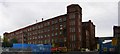
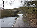
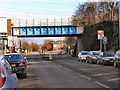
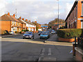
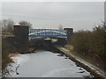
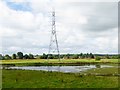
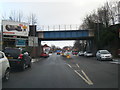
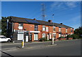
69 photos from this area
Area Information
Key information about the M24 2JE including its size, population, and administrative classification.
- Area Type
- Postcode
- Area Size
- 4835 m²
- Population
- 1534
- Population Density
- 5914 people/km²
House Prices in M24 2JE
24
Properties
£93,353
Average Sold Price
£34,500
Lowest Price
£182,000
Highest Price
Showing 24 properties
| Address | Type | Beds | Baths | Last Sale Price | Last Sale Date | |
|---|---|---|---|---|---|---|
| 126 Green Street, Middleton, M24 2JE | Terraced | 2 | 1 | £178,000 | Oct 2025 | |
| 112 Green Street, Middleton, M24 2JE | Terraced | 2 | 1 | £168,200 | Jun 2024 | |
| 138 Green Street, Middleton, M24 2JE | house | 3 | 1 | £182,000 | Sep 2022 | |
| 132 Green Street, Middleton, M24 2JE | house | - | - | £87,500 | Aug 2019 | |
| 124 Green Street, Middleton, M24 2JE | Terraced | 2 | 1 | £91,000 | Apr 2019 | |
| 136 Green Street, Middleton, M24 2JE | house | 2 | 1 | £85,000 | Apr 2019 | |
| 110 Green Street, Middleton, M24 2JE | house | - | - | £100,000 | Nov 2017 | |
| 122 Green Street, Middleton, M24 2JE | house | - | - | £63,000 | Oct 2009 | |
| 130 Green Street, Middleton, M24 2JE | Terraced | 2 | 1 | £73,000 | Aug 2009 | |
| 116 Green Street, Middleton, M24 2JE | Terraced | - | - | £95,000 | May 2008 |
Page 1 of 3
Energy Efficiency in M24 2JE
Amenities
Schools
| Rank | School | Type | Entry gender | Ages |
|---|
Explore more schools in this area
Go to Schools tabDemographics
Household Size
Two person
most common
Accommodation Type
Houses
most common
Tenure
62
majority
Ethnic Group
White
most common
Religion
N/A
most common
Household Composition
N/A
most common
Age
47
median
Adults (30-64 years)
most common
Household Deprivation
N/A
with no deprivation
NS-SEC
22
in Lower managerial occupations
Explore more demographic insights in this area
Go to Demographics tabPlanning
Planning Constraints
- Flood RiskPremium
- Ramsar Wetland SitesPremium
- Area of Outstanding Natural BeautyPremium
- Protected Nature ReservePremium
- Protected WoodlandPremium