Area Overview for M24 1UG
Photos of M24 1UG
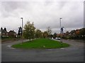
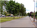

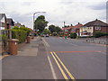
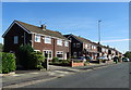
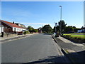
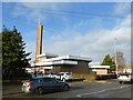

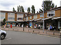
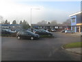
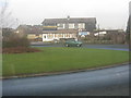
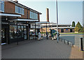
27 photos from this area
Area Information
Key information about the M24 1UG including its size, population, and administrative classification.
- Area Type
- Postcode
- Area Size
- 5897 m²
- Population
- 1548
- Population Density
- 5087 people/km²
House Prices in M24 1UG
14
Properties
£183,195
Average Sold Price
£35,950
Lowest Price
£275,000
Highest Price
Showing 14 properties
| Address | Type | Beds | Baths | Last Sale Price | Last Sale Date | |
|---|---|---|---|---|---|---|
| 171 Kingsway, Middleton, M24 1UG | house | - | - | £130,000 | Mar 2025 | |
| 167 Kingsway, Middleton, M24 1UG | house | - | - | £160,000 | Mar 2025 | |
| 175 Kingsway, Middleton, M24 1UG | Terraced | 3 | 1 | £153,000 | Apr 2024 | |
| 181 Kingsway, Middleton, M24 1UG | Retail | 3 | 1 | £275,000 | Sep 2022 | |
| 179 Kingsway, Middleton, M24 1UG | house | - | - | £220,000 | Mar 2022 | |
| 159 Kingsway, Middleton, M24 1UG | house | - | - | £154,000 | Mar 2022 | |
| 183 Kingsway, Middleton, M24 1UG | Semi-detached | 3 | 2 | £275,000 | Jun 2021 | |
| 177 Kingsway, Middleton, M24 1UG | house | - | - | £204,000 | Mar 2017 | |
| 185 Kingsway, Middleton, M24 1UG | house | - | - | £225,000 | Nov 2016 | |
| 165 Kingsway, Middleton, M24 1UG | Terraced | - | - | £35,950 | Feb 2003 |
Page 1 of 2
Energy Efficiency in M24 1UG
Amenities
Schools
| Rank | School | Type | Entry gender | Ages |
|---|
Explore more schools in this area
Go to Schools tabDemographics
Household Size
One person
most common
Accommodation Type
Houses
most common
Tenure
43
majority
Ethnic Group
White
most common
Religion
N/A
most common
Household Composition
N/A
most common
Age
47
median
Adults (30-64 years)
most common
Household Deprivation
N/A
with no deprivation
NS-SEC
18
in Lower managerial occupations
Explore more demographic insights in this area
Go to Demographics tabPlanning
Planning Constraints
- Flood RiskPremium
- Ramsar Wetland SitesPremium
- Area of Outstanding Natural BeautyPremium
- Protected Nature ReservePremium
- Protected WoodlandPremium