Area Overview for M23 1HQ
Photos of M23 1HQ
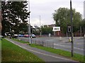
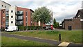

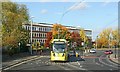
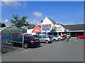
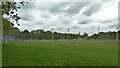
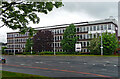
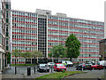
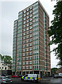
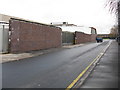
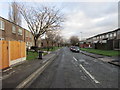
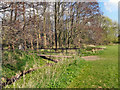
32 photos from this area
Area Information
Key information about the M23 1HQ including its size, population, and administrative classification.
- Area Type
- Postcode
- Area Size
- 2.5 hectares
- Population
- 1735
- Population Density
- 5367 people/km²
House Prices in M23 1HQ
34
Properties
£122,392
Average Sold Price
£17,500
Lowest Price
£232,000
Highest Price
Showing 34 properties
| Address | Type | Beds | Baths | Last Sale Price | Last Sale Date | |
|---|---|---|---|---|---|---|
| 8 Glebelands Road, Manchester, M23 1HQ | Terraced | 3 | - | £230,000 | Feb 2025 | |
| 24 Glebelands Road, Manchester, M23 1HQ | house | - | - | £45,000 | Oct 2024 | |
| 16 Glebelands Road, Manchester, M23 1HQ | Terraced | 3 | 1 | £232,000 | Apr 2023 | |
| 50 Glebelands Road, Manchester, M23 1HQ | house | - | - | £194,500 | Mar 2021 | |
| 12 Glebelands Road, Manchester, M23 1HQ | house | - | - | £191,000 | Aug 2020 | |
| 14 Glebelands Road, Manchester, M23 1HQ | Semi-detached | 3 | 1 | £170,000 | May 2019 | |
| 52 Glebelands Road, Manchester, M23 1HQ | house | - | - | £152,600 | Mar 2016 | |
| 58 Glebelands Road, Manchester, M23 1HQ | Flat | - | - | £83,500 | Mar 2007 | |
| 48 Glebelands Road, Manchester, M23 1HQ | Terraced | 3 | - | £75,000 | Oct 2005 | |
| 22 Glebelands Road, Manchester, M23 1HQ | house | - | - | £87,500 | May 2004 |
Page 1 of 4
Energy Efficiency in M23 1HQ
Amenities
Schools
| Rank | School | Type | Entry gender | Ages |
|---|
Explore more schools in this area
Go to Schools tabDemographics
Household Size
Family (3-5 people)
most common
Accommodation Type
Houses
most common
Tenure
43
majority
Ethnic Group
White
most common
Religion
N/A
most common
Household Composition
N/A
most common
Age
47
median
Adults (30-64 years)
most common
Household Deprivation
N/A
with no deprivation
NS-SEC
23
in Lower managerial occupations
Explore more demographic insights in this area
Go to Demographics tabPlanning
Planning Constraints
- Flood RiskPremium
- Ramsar Wetland SitesPremium
- Area of Outstanding Natural BeautyPremium
- Protected Nature ReservePremium
- Protected WoodlandPremium