Area Overview for M23 0HA
Photos of M23 0HA
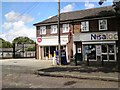
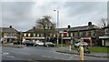
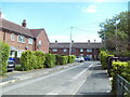
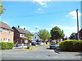
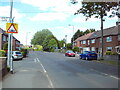
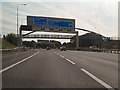
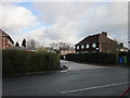
23 photos from this area
Area Information
Key information about the M23 0HA including its size, population, and administrative classification.
- Area Type
- Postcode
- Area Size
- 1.0 hectares
- Population
- 2054
- Population Density
- 6371 people/km²
House Prices in M23 0HA
27
Properties
£148,883
Average Sold Price
£44,950
Lowest Price
£300,000
Highest Price
Showing 27 properties
| Address | Type | Beds | Baths | Last Sale Price | Last Sale Date | |
|---|---|---|---|---|---|---|
| 6 Ossington Walk, Manchester, M23 0HA | Terraced | 3 | 1 | £300,000 | Jan 2025 | |
| 63 Ossington Walk, Manchester, M23 0HA | Terraced | 2 | 1 | £165,000 | Oct 2023 | |
| 24 Ossington Walk, Manchester, M23 0HA | house | 4 | 2 | £228,000 | Apr 2022 | |
| 22 Ossington Walk, Manchester, M23 0HA | house | - | - | £178,000 | Nov 2019 | |
| 44 Ossington Walk, Manchester, M23 0HA | house | - | - | £120,000 | Jul 2017 | |
| 32 Ossington Walk, Manchester, M23 0HA | house | - | - | £100,000 | Dec 2007 | |
| 48 Ossington Walk, Manchester, M23 0HA | house | - | - | £134,000 | Aug 2005 | |
| 65 Ossington Walk, Manchester, M23 0HA | house | - | - | £70,000 | Mar 2004 | |
| 67 Ossington Walk, Manchester, M23 0HA | house | - | - | £44,950 | May 2002 | |
| 30 Ossington Walk, Manchester, M23 0HA | Terraced | 3 | 1 | - | - |
Page 1 of 3
Energy Efficiency in M23 0HA
Amenities
Schools
| Rank | School | Type | Entry gender | Ages |
|---|
Explore more schools in this area
Go to Schools tabDemographics
Household Size
Family (3-5 people)
most common
Accommodation Type
Houses
most common
Tenure
43
majority
Ethnic Group
White
most common
Religion
N/A
most common
Household Composition
N/A
most common
Age
47
median
Adults (30-64 years)
most common
Household Deprivation
N/A
with no deprivation
NS-SEC
25
in Lower managerial occupations
Explore more demographic insights in this area
Go to Demographics tabPlanning
Planning Constraints
- Flood RiskPremium
- Ramsar Wetland SitesPremium
- Area of Outstanding Natural BeautyPremium
- Protected Nature ReservePremium
- Protected WoodlandPremium