Area Overview for M22 4WA
Photos of M22 4WA
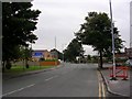
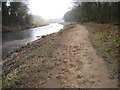
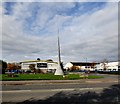
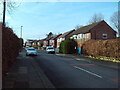
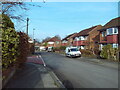
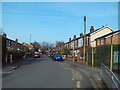
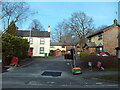
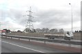
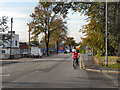

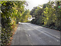
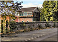
31 photos from this area
Area Information
Key information about the M22 4WA including its size, population, and administrative classification.
- Area Type
- Postcode
- Area Size
- 2.5 hectares
- Population
- 1736
- Population Density
- 1486 people/km²
House Prices in M22 4WA
37
Properties
£122,134
Average Sold Price
£27,840
Lowest Price
£198,000
Highest Price
Showing 37 properties
| Address | Type | Beds | Baths | Last Sale Price | Last Sale Date | |
|---|---|---|---|---|---|---|
| 59 Bucklow Drive, Manchester, M22 4WA | Semi-detached | 2 | - | £198,000 | Mar 2021 | |
| 57 Bucklow Drive, Manchester, M22 4WA | Semi-detached | 3 | 1 | £180,000 | Jan 2020 | |
| 65 Bucklow Drive, Manchester, M22 4WA | house | - | - | £135,000 | Jul 2017 | |
| 37 Bucklow Drive, Manchester, M22 4WA | Terraced | 3 | - | £168,000 | Aug 2016 | |
| 43 Bucklow Drive, Manchester, M22 4WA | Semi-detached | - | - | £103,000 | Aug 2004 | |
| 51 Bucklow Drive, Manchester, M22 4WA | house | - | - | £27,840 | Mar 2003 | |
| 1A Bucklow Drive, Manchester, M22 4WA | Semi-detached | - | - | £43,100 | Sep 1996 | |
| 1B Bucklow Drive, Manchester, M22 4WA | house | - | - | - | - | |
| 19 Bucklow Drive, Manchester, M22 4WA | house | - | - | - | - | |
| 35 Bucklow Drive, Manchester, M22 4WA | Terraced | - | - | - | - |
Page 1 of 4
Energy Efficiency in M22 4WA
Amenities
Schools
| Rank | School | Type | Entry gender | Ages |
|---|
Explore more schools in this area
Go to Schools tabDemographics
Household Size
One person
most common
Accommodation Type
Houses
most common
Tenure
41
majority
Ethnic Group
White
most common
Religion
N/A
most common
Household Composition
N/A
most common
Age
47
median
Adults (30-64 years)
most common
Household Deprivation
N/A
with no deprivation
NS-SEC
30
in Lower managerial occupations
Explore more demographic insights in this area
Go to Demographics tabPlanning
Planning Constraints
- Flood RiskPremium
- Ramsar Wetland SitesPremium
- Area of Outstanding Natural BeautyPremium
- Protected Nature ReservePremium
- Protected WoodlandPremium