Area Overview for M22 4AG
Photos of M22 4AG

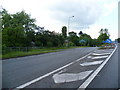


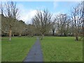
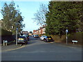
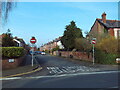
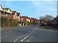
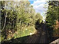
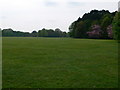
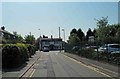

27 photos from this area
Area Information
Key information about the M22 4AG including its size, population, and administrative classification.
- Area Type
- Postcode
- Area Size
- 2.2 hectares
- Population
- 1736
- Population Density
- 1486 people/km²
House Prices in M22 4AG
31
Properties
£162,122
Average Sold Price
£54,000
Lowest Price
£275,000
Highest Price
Showing 31 properties
| Address | Type | Beds | Baths | Last Sale Price | Last Sale Date | |
|---|---|---|---|---|---|---|
| 3 Penarth Road, Manchester, M22 4AG | house | - | - | £275,000 | Mar 2021 | |
| 27 Penarth Road, Manchester, M22 4AG | Semi-detached | 3 | 1 | £270,000 | Dec 2020 | |
| 7 Penarth Road, Manchester, M22 4AG | house | - | - | £200,000 | Oct 2019 | |
| 13 Penarth Road, Manchester, M22 4AG | Semi-detached | 3 | 1 | £249,995 | Jan 2018 | |
| 57 Penarth Road, Manchester, M22 4AG | house | - | - | £235,000 | Aug 2017 | |
| 49 Penarth Road, Manchester, M22 4AG | Semi-detached | 4 | 1 | £270,000 | Dec 2015 | |
| 61 Penarth Road, Manchester, M22 4AG | Semi-detached | - | - | £165,000 | May 2015 | |
| 51 Penarth Road, Manchester, M22 4AG | Semi-detached | - | - | £180,000 | Sep 2013 | |
| 39 Penarth Road, Manchester, M22 4AG | house | - | - | £183,000 | Sep 2011 | |
| 47 Penarth Road, Manchester, M22 4AG | Semi-detached | 3 | - | £194,700 | Nov 2006 |
Page 1 of 4
Energy Efficiency in M22 4AG
Amenities
Schools
| Rank | School | Type | Entry gender | Ages |
|---|
Explore more schools in this area
Go to Schools tabDemographics
Household Size
One person
most common
Accommodation Type
Houses
most common
Tenure
41
majority
Ethnic Group
White
most common
Religion
N/A
most common
Household Composition
N/A
most common
Age
47
median
Adults (30-64 years)
most common
Household Deprivation
N/A
with no deprivation
NS-SEC
30
in Lower managerial occupations
Explore more demographic insights in this area
Go to Demographics tabPlanning
Planning Constraints
- Flood RiskPremium
- Ramsar Wetland SitesPremium
- Area of Outstanding Natural BeautyPremium
- Protected Nature ReservePremium
- Protected WoodlandPremium