Area Overview for M22 1TU
Photos of M22 1TU
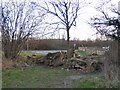


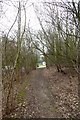
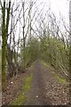
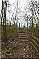
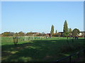
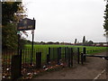
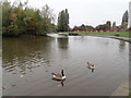
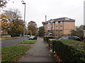
41 photos from this area
Area Information
Key information about the M22 1TU including its size, population, and administrative classification.
- Area Type
- Postcode
- Area Size
- 9300 m²
- Population
- 1642
- Population Density
- 239 people/km²
House Prices in M22 1TU
25
Properties
£152,443
Average Sold Price
£50,000
Lowest Price
£265,000
Highest Price
Showing 25 properties
| Address | Type | Beds | Baths | Last Sale Price | Last Sale Date | |
|---|---|---|---|---|---|---|
| 43 Ullswater Road, Manchester, M22 1TU | Semi-detached | 3 | 2 | £235,000 | Feb 2024 | |
| 29 Ullswater Road, Manchester, M22 1TU | Semi-detached | 3 | 2 | £265,000 | Jan 2024 | |
| 13 Ullswater Road, Manchester, M22 1TU | house | - | - | £245,000 | Sep 2021 | |
| 21 Ullswater Road, Manchester, M22 1TU | Semi-detached | 3 | - | £225,000 | Jul 2021 | |
| 7 Ullswater Road, Manchester, M22 1TU | Detached | 3 | 2 | £265,000 | Mar 2021 | |
| 5 Ullswater Road, Manchester, M22 1TU | Detached | 3 | 3 | £236,000 | Dec 2020 | |
| 39 Ullswater Road, Manchester, M22 1TU | house | - | - | £166,000 | Nov 2019 | |
| 37 Ullswater Road, Manchester, M22 1TU | house | - | - | £136,500 | Apr 2019 | |
| 1 Ullswater Road, Manchester, M22 1TU | Detached | 3 | 2 | £260,000 | Feb 2019 | |
| 47 Ullswater Road, Manchester, M22 1TU | Terraced | 2 | - | £120,000 | Jun 2017 |
Page 1 of 3
Energy Efficiency in M22 1TU
Amenities
Schools
| Rank | School | Type | Entry gender | Ages |
|---|
Explore more schools in this area
Go to Schools tabDemographics
Household Size
Family (3-5 people)
most common
Accommodation Type
Houses
most common
Tenure
43
majority
Ethnic Group
White
most common
Religion
N/A
most common
Household Composition
N/A
most common
Age
47
median
Adults (30-64 years)
most common
Household Deprivation
N/A
with no deprivation
NS-SEC
23
in Lower managerial occupations
Explore more demographic insights in this area
Go to Demographics tabPlanning
Planning Constraints
- Flood RiskPremium
- Ramsar Wetland SitesPremium
- Area of Outstanding Natural BeautyPremium
- Protected Nature ReservePremium
- Protected WoodlandPremium