Area Overview for M22 1SU
Photos of M22 1SU
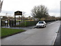


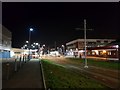
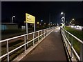
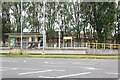
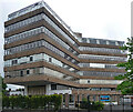
55 photos from this area
Area Information
Key information about the M22 1SU including its size, population, and administrative classification.
- Area Type
- Postcode
- Area Size
- 1.2 hectares
- Population
- 1724
- Population Density
- 4742 people/km²
House Prices in M22 1SU
37
Properties
£107,965
Average Sold Price
£15,400
Lowest Price
£215,000
Highest Price
Showing 37 properties
| Address | Type | Beds | Baths | Last Sale Price | Last Sale Date | |
|---|---|---|---|---|---|---|
| 244 Cornishway, Manchester, M22 1SU | Flat | 2 | 1 | £165,000 | Jan 2024 | |
| 222 Cornishway, Manchester, M22 1SU | house | - | - | £215,000 | May 2022 | |
| 262 Cornishway, Manchester, M22 1SU | house | - | - | £191,000 | Oct 2020 | |
| 218 Cornishway, Manchester, M22 1SU | Terraced | 3 | 1 | £146,000 | Oct 2020 | |
| 274 Cornishway, Manchester, M22 1SU | house | - | - | £185,000 | Oct 2019 | |
| 276 Cornishway, Manchester, M22 1SU | house | - | - | £130,000 | May 2017 | |
| 252 Cornishway, Manchester, M22 1SU | Flat | - | - | £76,000 | Jan 2016 | |
| 226 Cornishway, Manchester, M22 1SU | Terraced | 3 | 1 | £110,000 | Jan 2016 | |
| 214 Cornishway, Manchester, M22 1SU | house | - | - | £90,000 | Jul 2015 | |
| 212 Cornishway, Manchester, M22 1SU | Terraced | 2 | 1 | £100,000 | Nov 2014 |
Page 1 of 4
Energy Efficiency in M22 1SU
Amenities
Schools
| Rank | School | Type | Entry gender | Ages |
|---|
Explore more schools in this area
Go to Schools tabDemographics
Household Size
One person
most common
Accommodation Type
Houses
most common
Tenure
28
majority
Ethnic Group
White
most common
Religion
N/A
most common
Household Composition
N/A
most common
Age
47
median
Adults (30-64 years)
most common
Household Deprivation
N/A
with no deprivation
NS-SEC
15
in Lower managerial occupations
Explore more demographic insights in this area
Go to Demographics tabPlanning
Planning Constraints
- Flood RiskPremium
- Ramsar Wetland SitesPremium
- Area of Outstanding Natural BeautyPremium
- Protected Nature ReservePremium
- Protected WoodlandPremium