Area Overview for M21 0XZ
Photos of M21 0XZ
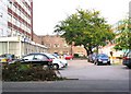
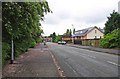
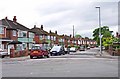
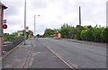
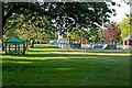
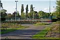
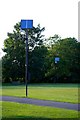
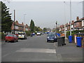
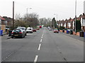
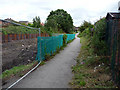
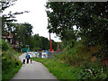
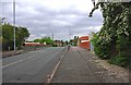
100 photos from this area
Area Information
Key information about the M21 0XZ including its size, population, and administrative classification.
- Area Type
- Postcode
- Area Size
- 1.1 hectares
- Population
- 1547
- Population Density
- 5652 people/km²
House Prices in M21 0XZ
23
Properties
£247,692
Average Sold Price
£48,000
Lowest Price
£480,500
Highest Price
Showing 23 properties
| Address | Type | Beds | Baths | Last Sale Price | Last Sale Date | |
|---|---|---|---|---|---|---|
| 280 Withington Road, Manchester, M21 0XZ | house | - | - | £480,500 | Nov 2022 | |
| 310 Withington Road, Manchester, M21 0XZ | house | - | - | £293,000 | Sep 2017 | |
| 286 Withington Road, Manchester, M21 0XZ | house | - | - | £345,000 | Oct 2016 | |
| 276 Withington Road, Manchester, M21 0XZ | Semi-detached | 4 | - | £320,000 | Jun 2015 | |
| 272 Withington Road, Manchester, M21 0XZ | Semi-detached | 4 | 2 | £248,000 | Nov 2014 | |
| 288 Withington Road, Manchester, M21 0XZ | house | - | - | £285,000 | Jun 2013 | |
| 292 Withington Road, Manchester, M21 0XZ | house | - | - | £241,500 | Jul 2010 | |
| 294 Withington Road, Manchester, M21 0XZ | house | - | - | £225,000 | Sep 2009 | |
| 270 Withington Road, Manchester, M21 0XZ | Semi-detached | 3 | - | £235,000 | Jun 2008 | |
| 290 Withington Road, Manchester, M21 0XZ | Semi-detached | - | - | £145,000 | Apr 2006 |
Page 1 of 3
Energy Efficiency in M21 0XZ
Amenities
Schools
| Rank | School | Type | Entry gender | Ages |
|---|
Explore more schools in this area
Go to Schools tabDemographics
Household Size
Family (3-5 people)
most common
Accommodation Type
Houses
most common
Tenure
81
majority
Ethnic Group
asian_total
most common
Religion
N/A
most common
Household Composition
N/A
most common
Age
47
median
Adults (30-64 years)
most common
Household Deprivation
N/A
with no deprivation
NS-SEC
38
in Lower managerial occupations
Explore more demographic insights in this area
Go to Demographics tabPlanning
Planning Constraints
- Flood RiskPremium
- Ramsar Wetland SitesPremium
- Area of Outstanding Natural BeautyPremium
- Protected Nature ReservePremium
- Protected WoodlandPremium