Area Overview for M20 6RU
Photos of M20 6RU
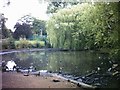
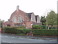
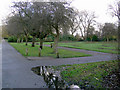
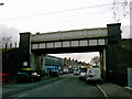
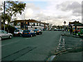
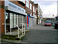
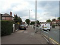
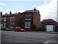

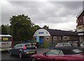
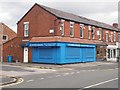
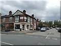
49 photos from this area
Area Information
Key information about the M20 6RU including its size, population, and administrative classification.
- Area Type
- Postcode
- Area Size
- 7814 m²
- Population
- 1682
- Population Density
- 6125 people/km²
House Prices in M20 6RU
46
Properties
£244,460
Average Sold Price
£85,000
Lowest Price
£400,000
Highest Price
Showing 46 properties
| Address | Type | Beds | Baths | Last Sale Price | Last Sale Date | |
|---|---|---|---|---|---|---|
| 34 Dundonald Road, Manchester, M20 6RU | Terraced | 2 | 1 | £350,000 | Jun 2025 | |
| 5 Dundonald Road, Manchester, M20 6RU | Terraced | 2 | 1 | £241,500 | Feb 2025 | |
| 2 Dundonald Road, Manchester, M20 6RU | Terraced | 2 | 2 | £400,000 | Jan 2025 | |
| 48 Dundonald Road, Manchester, M20 6RU | Terraced | 2 | 1 | £328,000 | Dec 2024 | |
| 6 Dundonald Road, Manchester, M20 6RU | Terraced | 2 | 1 | £325,000 | Mar 2024 | |
| 12 Dundonald Road, Manchester, M20 6RU | house | - | - | £274,950 | Nov 2023 | |
| 19 Dundonald Road, Manchester, M20 6RU | Terraced | 2 | 1 | £325,000 | Sep 2023 | |
| 50 Dundonald Road, Manchester, M20 6RU | house | 2 | 1 | £340,000 | Mar 2023 | |
| 11 Dundonald Road, Manchester, M20 6RU | Terraced | 2 | 1 | £360,000 | Feb 2023 | |
| 8 Dundonald Road, Manchester, M20 6RU | house | - | - | £336,500 | Sep 2022 |
Page 1 of 5
Energy Efficiency in M20 6RU
Amenities
Schools
| Rank | School | Type | Entry gender | Ages |
|---|
Explore more schools in this area
Go to Schools tabDemographics
Household Size
Two person
most common
Accommodation Type
Houses
most common
Tenure
45
majority
Ethnic Group
White
most common
Religion
N/A
most common
Household Composition
N/A
most common
Age
47
median
Adults (30-64 years)
most common
Household Deprivation
N/A
with no deprivation
NS-SEC
64
in Lower managerial occupations
Explore more demographic insights in this area
Go to Demographics tabPlanning
Planning Constraints
- Flood RiskPremium
- Ramsar Wetland SitesPremium
- Area of Outstanding Natural BeautyPremium
- Protected Nature ReservePremium
- Protected WoodlandPremium