Area Overview for M20 4WZ
Photos of M20 4WZ
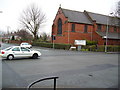
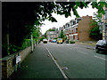
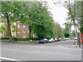
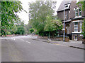
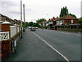
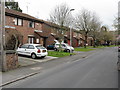
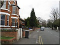
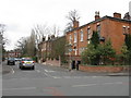
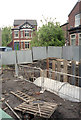
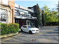
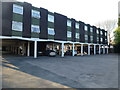
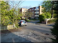
60 photos from this area
Area Information
Key information about the M20 4WZ including its size, population, and administrative classification.
- Area Type
- Postcode
- Area Size
- 6252 m²
- Population
- 1708
- Population Density
- 5206 people/km²
House Prices in M20 4WZ
17
Properties
£172,958
Average Sold Price
£53,000
Lowest Price
£323,000
Highest Price
Showing 17 properties
| Address | Type | Beds | Baths | Last Sale Price | Last Sale Date | |
|---|---|---|---|---|---|---|
| 119 Parsonage Road, Manchester, M20 4WZ | house | - | - | £323,000 | Dec 2021 | |
| 109 Parsonage Road, Manchester, M20 4WZ | house | - | - | £285,000 | Nov 2020 | |
| 129 Parsonage Road, Manchester, M20 4WZ | house | - | - | £150,000 | Dec 2017 | |
| 139 Parsonage Road, Manchester, M20 4WZ | house | - | - | £280,000 | Jul 2016 | |
| 111 Parsonage Road, Manchester, M20 4WZ | house | - | - | £165,000 | Jun 2013 | |
| 133 Parsonage Road, Manchester, M20 4WZ | Semi-detached | - | - | £158,000 | Jul 2008 | |
| 137 Parsonage Road, Manchester, M20 4WZ | house | - | - | £215,000 | Sep 2007 | |
| 117 Parsonage Road, Manchester, M20 4WZ | Semi-detached | 4 | 1 | £235,000 | Aug 2007 | |
| 123 Parsonage Road, Manchester, M20 4WZ | Semi-detached | - | - | £76,500 | Jul 1999 | |
| 135 Parsonage Road, Manchester, M20 4WZ | house | 3 | - | £71,000 | Jun 1998 |
Page 1 of 2
Energy Efficiency in M20 4WZ
Amenities
Schools
| Rank | School | Type | Entry gender | Ages |
|---|
Explore more schools in this area
Go to Schools tabDemographics
Household Size
Family (3-5 people)
most common
Accommodation Type
Houses
most common
Tenure
68
majority
Ethnic Group
White
most common
Religion
N/A
most common
Household Composition
N/A
most common
Age
47
median
Adults (30-64 years)
most common
Household Deprivation
N/A
with no deprivation
NS-SEC
36
in Lower managerial occupations
Explore more demographic insights in this area
Go to Demographics tabPlanning
Planning Constraints
- Flood RiskPremium
- Ramsar Wetland SitesPremium
- Area of Outstanding Natural BeautyPremium
- Protected Nature ReservePremium
- Protected WoodlandPremium