Area Overview for M20 4RG
Photos of M20 4RG

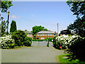
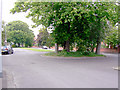
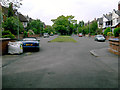
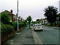
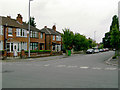
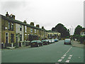
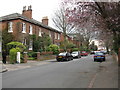

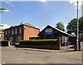
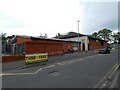
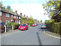
31 photos from this area
Area Information
Key information about the M20 4RG including its size, population, and administrative classification.
- Area Type
- Postcode
- Area Size
- 8463 m²
- Population
- 1688
- Population Density
- 5055 people/km²
House Prices in M20 4RG
28
Properties
£175,992
Average Sold Price
£65,000
Lowest Price
£265,000
Highest Price
Showing 28 properties
| Address | Type | Beds | Baths | Last Sale Price | Last Sale Date | |
|---|---|---|---|---|---|---|
| 170 Parrs Wood Road, Manchester, M20 4RG | house | 3 | 1 | £238,000 | Sep 2025 | |
| 222 Parrs Wood Road, Manchester, M20 4RG | house | - | - | £265,000 | Aug 2023 | |
| 188 Parrs Wood Road, Manchester, M20 4RG | house | - | - | £220,000 | Mar 2022 | |
| 230 Parrs Wood Road, Manchester, M20 4RG | house | 3 | 1 | £128,000 | Nov 2012 | |
| 174 Parrs Wood Road, Manchester, M20 4RG | Semi-detached | 3 | 1 | £139,950 | Jun 2007 | |
| 186 Parrs Wood Road, Manchester, M20 4RG | Flat | - | - | £65,000 | Feb 2003 | |
| 182 Parrs Wood Road, Manchester, M20 4RG | house | - | - | - | - | |
| 176 Parrs Wood Road, Manchester, M20 4RG | Flat | - | - | - | - | |
| 204 Parrs Wood Road, Manchester, M20 4RG | Semi-detached | - | - | - | - | |
| 216 Parrs Wood Road, Manchester, M20 4RG | Flat | - | - | - | - |
Page 1 of 3
Energy Efficiency in M20 4RG
Amenities
Schools
| Rank | School | Type | Entry gender | Ages |
|---|
Explore more schools in this area
Go to Schools tabDemographics
Household Size
Family (3-5 people)
most common
Accommodation Type
Houses
most common
Tenure
49
majority
Ethnic Group
White
most common
Religion
N/A
most common
Household Composition
N/A
most common
Age
47
median
Adults (30-64 years)
most common
Household Deprivation
N/A
with no deprivation
NS-SEC
31
in Lower managerial occupations
Explore more demographic insights in this area
Go to Demographics tabPlanning
Planning Constraints
- Flood RiskPremium
- Ramsar Wetland SitesPremium
- Area of Outstanding Natural BeautyPremium
- Protected Nature ReservePremium
- Protected WoodlandPremium