Area Overview for M20 2NX
Photos of M20 2NX
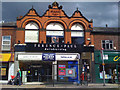
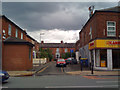
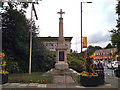
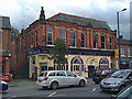
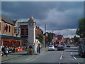
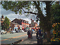
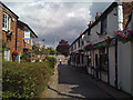
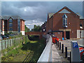
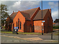
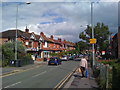
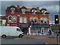

100 photos from this area
Area Information
Key information about the M20 2NX including its size, population, and administrative classification.
- Area Type
- Postcode
- Area Size
- 5048 m²
- Population
- 1348
- Population Density
- 8331 people/km²
House Prices in M20 2NX
19
Properties
£508,714
Average Sold Price
£150,000
Lowest Price
£755,000
Highest Price
Showing 19 properties
| Address | Type | Beds | Baths | Last Sale Price | Last Sale Date | |
|---|---|---|---|---|---|---|
| 27 Queenston Road, Manchester, M20 2NX | house | - | - | £755,000 | Apr 2022 | |
| 35 Queenston Road, Manchester, M20 2NX | house | - | - | £645,000 | Mar 2021 | |
| 39 Queenston Road, Manchester, M20 2NX | house | - | - | £615,000 | Feb 2021 | |
| 37 Queenston Road, Manchester, M20 2NX | house | - | - | £630,000 | Jan 2021 | |
| 21 Queenston Road, Manchester, M20 2NX | Terraced | 4 | 2 | £595,000 | Aug 2016 | |
| 31 Queenston Road, Manchester, M20 2NX | house | - | - | £517,000 | Mar 2016 | |
| 29 Queenston Road, Manchester, M20 2NX | house | - | - | £538,000 | Feb 2016 | |
| 25 Queenston Road, Manchester, M20 2NX | house | - | - | £525,000 | Feb 2015 | |
| 41 Queenston Road, Manchester, M20 2NX | house | - | - | £575,000 | Feb 2012 | |
| 28 Queenston Road, Manchester, M20 2NX | house | - | - | £548,000 | Dec 2011 |
Page 1 of 2
Energy Efficiency in M20 2NX
Amenities
Schools
| Rank | School | Type | Entry gender | Ages |
|---|
Explore more schools in this area
Go to Schools tabDemographics
Household Size
One person
most common
Accommodation Type
Flats
most common
Tenure
32
majority
Ethnic Group
White
most common
Religion
N/A
most common
Household Composition
N/A
most common
Age
47
median
Adults (30-64 years)
most common
Household Deprivation
N/A
with no deprivation
NS-SEC
59
in Lower managerial occupations
Explore more demographic insights in this area
Go to Demographics tabPlanning
Planning Constraints
- Flood RiskPremium
- Ramsar Wetland SitesPremium
- Area of Outstanding Natural BeautyPremium
- Protected Nature ReservePremium
- Protected WoodlandPremium