Area Overview for M20 2NW
Photos of M20 2NW
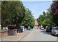
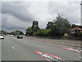
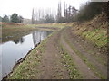
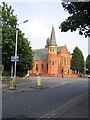
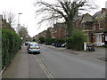

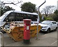
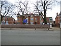
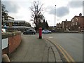
64 photos from this area
Area Information
Key information about the M20 2NW including its size, population, and administrative classification.
- Area Type
- Postcode
- Area Size
- 7432 m²
- Population
- 1838
- Population Density
- 5037 people/km²
House Prices in M20 2NW
46
Properties
£427,178
Average Sold Price
£47,250
Lowest Price
£715,000
Highest Price
Showing 46 properties
| Address | Type | Beds | Baths | Last Sale Price | Last Sale Date | |
|---|---|---|---|---|---|---|
| 68 Northen Grove, Manchester, M20 2NW | Semi-detached | 4 | 2 | £692,000 | Apr 2024 | |
| 72 Northen Grove, Manchester, M20 2NW | house | - | - | £715,000 | Apr 2024 | |
| 38 Northen Grove, Manchester, M20 2NW | Semi-detached | 3 | 1 | £349,500 | Mar 2022 | |
| 32 Northen Grove, Manchester, M20 2NW | house | 3 | - | £450,000 | Jul 2021 | |
| 66 Northen Grove, Manchester, M20 2NW | Semi-detached | 4 | 2 | £425,000 | Jun 2021 | |
| 36 Northen Grove, Manchester, M20 2NW | house | 3 | 1 | £460,000 | Mar 2021 | |
| 62 Northen Grove, Manchester, M20 2NW | Semi-detached | 4 | 3 | £650,000 | Nov 2020 | |
| 76 Northen Grove, Manchester, M20 2NW | Semi-detached | 6 | 3 | £565,000 | Aug 2016 | |
| 46 Northen Grove, Manchester, M20 2NW | house | - | - | £522,500 | Dec 2015 | |
| 34 Northen Grove, Manchester, M20 2NW | Semi-detached | 3 | 1 | £280,000 | Dec 2015 |
Page 1 of 5
Energy Efficiency in M20 2NW
Amenities
Schools
| Rank | School | Type | Entry gender | Ages |
|---|
Explore more schools in this area
Go to Schools tabDemographics
Household Size
One person
most common
Accommodation Type
Flats
most common
Tenure
36
majority
Ethnic Group
White
most common
Religion
N/A
most common
Household Composition
N/A
most common
Age
47
median
Adults (30-64 years)
most common
Household Deprivation
N/A
with no deprivation
NS-SEC
61
in Lower managerial occupations
Explore more demographic insights in this area
Go to Demographics tabPlanning
Planning Constraints
- Flood RiskPremium
- Ramsar Wetland SitesPremium
- Area of Outstanding Natural BeautyPremium
- Protected Nature ReservePremium
- Protected WoodlandPremium