Area Overview for M2 5GP
Photos of M2 5GP
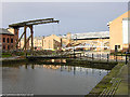
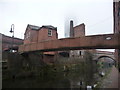
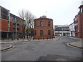
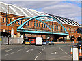
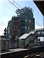
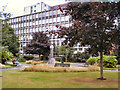
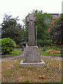
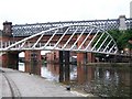
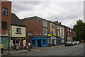
100 photos from this area
Area Information
Key information about the M2 5GP including its size, population, and administrative classification.
- Area Type
- Postcode
- Area Size
- 8856 m²
- Population
- 1019
- Population Density
- 3933 people/km²
House Prices in M2 5GP
9
Properties
-
Average Sold Price
-
Lowest Price
-
Highest Price
Showing 9 properties
| Address | Type | Beds | Baths | Last Sale Price | Last Sale Date | |
|---|---|---|---|---|---|---|
| Radisson Edwardian Hotel, Peter Street, Manchester, M2 5GP | hotel | - | - | - | - | |
| Magnus Ltd, Seventh Floor, 44 Peter Street, Manchester, M2 5GP | Office | - | - | - | - | |
| Rmri Plc, Fourth Floor, 44 Peter Street, Manchester, M2 5GP | Office | - | - | - | - | |
| Selection Group, Ground Floor, 44 Peter Street, Manchester, M2 5GP | Office | - | - | - | - | |
| Magnus Ltd, First Floor, 44 Peter Street, Manchester, M2 5GP | Office | - | - | - | - | |
| Second Floor, 44 Peter Street, Manchester, M2 5GP | Office | - | - | - | - | |
| Kennedys Ltd, Third Floor, 44 Peter Street, Manchester, M2 5GP | Office | - | - | - | - | |
| Fifth Floor, 44 Peter Street, Manchester, M2 5GP | Office | - | - | - | - | |
| Second Third And Fourth Floor, 40 Peter Street, Manchester, M2 5GP | office_workshop | - | - | - | - |
Energy Efficiency in M2 5GP
Amenities
Schools
| Rank | School | Type | Entry gender | Ages |
|---|
Explore more schools in this area
Go to Schools tabDemographics
Household Size
One person
most common
Accommodation Type
Flats
most common
Tenure
28
majority
Ethnic Group
White
most common
Religion
N/A
most common
Household Composition
N/A
most common
Age
22
median
Young Adults (15-29 years)
most common
Household Deprivation
N/A
with no deprivation
NS-SEC
53
in Lower managerial occupations
Explore more demographic insights in this area
Go to Demographics tabPlanning
Planning Constraints
- Flood RiskPremium
- Ramsar Wetland SitesPremium
- Area of Outstanding Natural BeautyPremium
- Protected Nature ReservePremium
- Protected WoodlandPremium