Area Overview for M19 3EY
Photos of M19 3EY
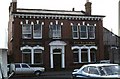
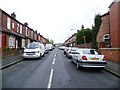
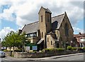
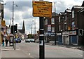
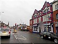
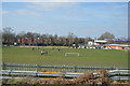

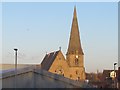

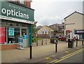
100 photos from this area
Area Information
Key information about the M19 3EY including its size, population, and administrative classification.
- Area Type
- Postcode
- Area Size
- 1979 m²
- Population
- 2137
- Population Density
- 8579 people/km²
House Prices in M19 3EY
11
Properties
£107,611
Average Sold Price
£16,750
Lowest Price
£220,000
Highest Price
Showing 11 properties
| Address | Type | Beds | Baths | Last Sale Price | Last Sale Date | |
|---|---|---|---|---|---|---|
| 3 Derby Grove, Manchester, M19 3EY | house | - | - | £220,000 | Jul 2025 | |
| 6 Derby Grove, Manchester, M19 3EY | Terraced | 2 | 1 | £217,000 | Jul 2020 | |
| 9 Derby Grove, Manchester, M19 3EY | Semi-detached | 2 | 1 | £134,950 | Aug 2017 | |
| 1 Derby Grove, Manchester, M19 3EY | Semi-detached | 2 | 1 | £85,000 | Nov 2012 | |
| 11 Derby Grove, Manchester, M19 3EY | Semi-detached | - | - | £140,000 | Jun 2008 | |
| 8 Derby Grove, Manchester, M19 3EY | Terraced | - | - | £102,000 | Nov 2007 | |
| 12 Derby Grove, Manchester, M19 3EY | house | - | - | £17,800 | Dec 2001 | |
| 5-7 Derby Grove, Manchester, M19 3EY | Detached | - | - | £35,000 | Jan 2001 | |
| 10 Derby Grove, Manchester, M19 3EY | house | - | - | £16,750 | Jun 1999 | |
| 2 Derby Grove, Manchester, M19 3EY | Terraced | 2 | 1 | - | - |
Page 1 of 2
Energy Efficiency in M19 3EY
Amenities
Schools
| Rank | School | Type | Entry gender | Ages |
|---|
Explore more schools in this area
Go to Schools tabDemographics
Household Size
Family (3-5 people)
most common
Accommodation Type
Houses
most common
Tenure
52
majority
Ethnic Group
asian_total
most common
Religion
N/A
most common
Household Composition
N/A
most common
Age
47
median
Adults (30-64 years)
most common
Household Deprivation
N/A
with no deprivation
NS-SEC
25
in Lower managerial occupations
Explore more demographic insights in this area
Go to Demographics tabPlanning
Planning Constraints
- Flood RiskPremium
- Ramsar Wetland SitesPremium
- Area of Outstanding Natural BeautyPremium
- Protected Nature ReservePremium
- Protected WoodlandPremium