Area Overview for M19 2UF
Photos of M19 2UF
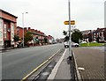
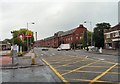
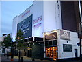

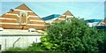
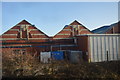
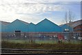
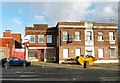
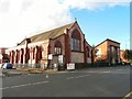
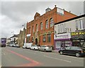
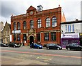
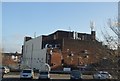
69 photos from this area
Area Information
Key information about the M19 2UF including its size, population, and administrative classification.
- Area Type
- Postcode
- Area Size
- 1967 m²
- Population
- 2164
- Population Density
- 5122 people/km²
House Prices in M19 2UF
16
Properties
£111,328
Average Sold Price
£13,000
Lowest Price
£206,000
Highest Price
Showing 16 properties
| Address | Type | Beds | Baths | Last Sale Price | Last Sale Date | |
|---|---|---|---|---|---|---|
| 1 Ventnor Avenue, Manchester, M19 2UF | Retail | 2 | 1 | £206,000 | Mar 2022 | |
| 3 Ventnor Avenue, Manchester, M19 2UF | Terraced | 3 | 1 | £182,000 | Sep 2020 | |
| 8 Ventnor Avenue, Manchester, M19 2UF | Terraced | 2 | 1 | £168,000 | Jul 2020 | |
| 14 Ventnor Avenue, Manchester, M19 2UF | house | 2 | 1 | £160,000 | Jun 2019 | |
| 16 Ventnor Avenue, Manchester, M19 2UF | house | - | - | £62,500 | Jul 2010 | |
| 6 Ventnor Avenue, Manchester, M19 2UF | house | - | - | £88,500 | Mar 2010 | |
| 12 Ventnor Avenue, Manchester, M19 2UF | Terraced | - | - | £76,000 | Jul 2009 | |
| 13 Ventnor Avenue, Manchester, M19 2UF | house | - | - | £45,950 | Feb 2003 | |
| 2 Ventnor Avenue, Manchester, M19 2UF | Terraced | 2 | 1 | £13,000 | May 1998 | |
| 10 Ventnor Avenue, Manchester, M19 2UF | house | - | - | - | - |
Page 1 of 2
Energy Efficiency in M19 2UF
Amenities
Schools
| Rank | School | Type | Entry gender | Ages |
|---|
Explore more schools in this area
Go to Schools tabDemographics
Household Size
One person
most common
Accommodation Type
Houses
most common
Tenure
43
majority
Ethnic Group
White
most common
Religion
N/A
most common
Household Composition
N/A
most common
Age
47
median
Adults (30-64 years)
most common
Household Deprivation
N/A
with no deprivation
NS-SEC
26
in Lower managerial occupations
Explore more demographic insights in this area
Go to Demographics tabPlanning
Planning Constraints
- Flood RiskPremium
- Ramsar Wetland SitesPremium
- Area of Outstanding Natural BeautyPremium
- Protected Nature ReservePremium
- Protected WoodlandPremium