Area Overview for M19 1RA
Photos of M19 1RA

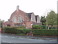
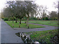
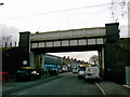
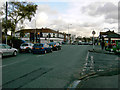

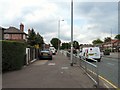
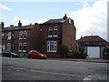

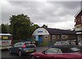
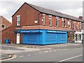
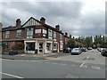
49 photos from this area
Area Information
Key information about the M19 1RA including its size, population, and administrative classification.
- Area Type
- Postcode
- Area Size
- 1.6 hectares
- Population
- 2003
- Population Density
- 6888 people/km²
House Prices in M19 1RA
32
Properties
£143,505
Average Sold Price
£40,000
Lowest Price
£325,000
Highest Price
Showing 32 properties
| Address | Type | Beds | Baths | Last Sale Price | Last Sale Date | |
|---|---|---|---|---|---|---|
| 567 Kingsway, Manchester, M19 1RA | house | 3 | 1 | £325,000 | Jun 2022 | |
| 613 Kingsway, Manchester, M19 1RA | house | - | - | £225,000 | Jul 2021 | |
| 587 Kingsway, Manchester, M19 1RA | Semi-detached | 3 | 1 | £265,500 | Sep 2019 | |
| 599 Kingsway, Manchester, M19 1RA | house | 3 | - | £229,500 | Aug 2017 | |
| 601 Kingsway, Manchester, M19 1RA | house | - | - | £173,000 | Mar 2017 | |
| 583 Kingsway, Manchester, M19 1RA | Semi-detached | 3 | 1 | £165,000 | Feb 2014 | |
| 579 Kingsway, Manchester, M19 1RA | house | - | - | £205,000 | Jul 2012 | |
| 573 Kingsway, Manchester, M19 1RA | house | - | - | £200,000 | Aug 2006 | |
| 623 Kingsway, Manchester, M19 1RA | house | 3 | 1 | £140,000 | Jun 2006 | |
| 563 Kingsway, Manchester, M19 1RA | house | 3 | 1 | £153,000 | Apr 2004 |
Page 1 of 4
Energy Efficiency in M19 1RA
Amenities
Schools
| Rank | School | Type | Entry gender | Ages |
|---|
Explore more schools in this area
Go to Schools tabDemographics
Household Size
Family (3-5 people)
most common
Accommodation Type
Houses
most common
Tenure
70
majority
Ethnic Group
White
most common
Religion
N/A
most common
Household Composition
N/A
most common
Age
47
median
Adults (30-64 years)
most common
Household Deprivation
N/A
with no deprivation
NS-SEC
43
in Lower managerial occupations
Explore more demographic insights in this area
Go to Demographics tabPlanning
Planning Constraints
- Flood RiskPremium
- Ramsar Wetland SitesPremium
- Area of Outstanding Natural BeautyPremium
- Protected Nature ReservePremium
- Protected WoodlandPremium