Area Overview for M19 1EZ
Photos of M19 1EZ
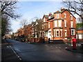
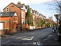
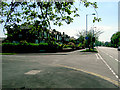
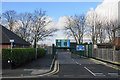
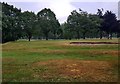
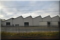
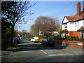
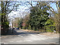
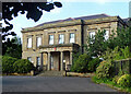
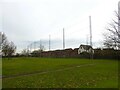
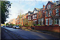
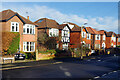
40 photos from this area
Area Information
Key information about the M19 1EZ including its size, population, and administrative classification.
- Area Type
- Postcode
- Area Size
- 6897 m²
- Population
- 1901
- Population Density
- 8506 people/km²
House Prices in M19 1EZ
22
Properties
£140,093
Average Sold Price
£59,700
Lowest Price
£240,000
Highest Price
Showing 22 properties
| Address | Type | Beds | Baths | Last Sale Price | Last Sale Date | |
|---|---|---|---|---|---|---|
| 64 Arbor Avenue, Manchester, M19 1EZ | Semi-detached | 3 | 1 | £240,000 | Apr 2021 | |
| 56 Arbor Avenue, Manchester, M19 1EZ | house | 3 | - | £190,000 | May 2019 | |
| 65 Arbor Avenue, Manchester, M19 1EZ | Semi-detached | 3 | 1 | £130,000 | Apr 2011 | |
| 57 Arbor Avenue, Manchester, M19 1EZ | house | - | - | £125,000 | Jun 2010 | |
| 71 Arbor Avenue, Manchester, M19 1EZ | house | - | - | £130,950 | Feb 2008 | |
| 60 Arbor Avenue, Manchester, M19 1EZ | house | - | - | £105,000 | Mar 2004 | |
| 66 Arbor Avenue, Manchester, M19 1EZ | house | - | - | £59,700 | Sep 2002 | |
| 51 Arbor Avenue, Manchester, M19 1EZ | Terraced | - | - | - | - | |
| 59 Arbor Avenue, Manchester, M19 1EZ | house | - | - | - | - | |
| 47 Arbor Avenue, Manchester, M19 1EZ | house | - | - | - | - |
Page 1 of 3
Energy Efficiency in M19 1EZ
Amenities
Schools
| Rank | School | Type | Entry gender | Ages |
|---|
Explore more schools in this area
Go to Schools tabDemographics
Household Size
Family (3-5 people)
most common
Accommodation Type
Houses
most common
Tenure
58
majority
Ethnic Group
White
most common
Religion
N/A
most common
Household Composition
N/A
most common
Age
47
median
Adults (30-64 years)
most common
Household Deprivation
N/A
with no deprivation
NS-SEC
26
in Lower managerial occupations
Explore more demographic insights in this area
Go to Demographics tabPlanning
Planning Constraints
- Flood RiskPremium
- Ramsar Wetland SitesPremium
- Area of Outstanding Natural BeautyPremium
- Protected Nature ReservePremium
- Protected WoodlandPremium