Area Overview for M18 8PG
Photos of M18 8PG
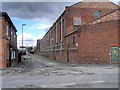
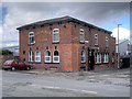
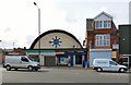
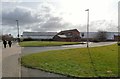
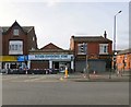
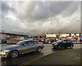
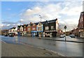
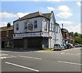
100 photos from this area
Area Information
Key information about the M18 8PG including its size, population, and administrative classification.
- Area Type
- Postcode
- Area Size
- 2919 m²
- Population
- 1860
- Population Density
- 12568 people/km²
House Prices in M18 8PG
20
Properties
£97,829
Average Sold Price
£36,950
Lowest Price
£178,000
Highest Price
Showing 20 properties
| Address | Type | Beds | Baths | Last Sale Price | Last Sale Date | |
|---|---|---|---|---|---|---|
| 31 Carberry Road, Manchester, M18 8PG | house | 3 | 1 | £145,000 | Jul 2024 | |
| 50 Carberry Road, Manchester, M18 8PG | Terraced | 3 | 1 | £178,000 | Apr 2024 | |
| 42 Carberry Road, Manchester, M18 8PG | Retail | 2 | 1 | £119,000 | May 2022 | |
| 36 Carberry Road, Manchester, M18 8PG | Terraced | 3 | 1 | £160,000 | Nov 2021 | |
| 58 Carberry Road, Manchester, M18 8PG | Terraced | 3 | 2 | £105,000 | Oct 2020 | |
| 44 Carberry Road, Manchester, M18 8PG | Terraced | 2 | 1 | £112,000 | Jun 2020 | |
| 48 Carberry Road, Manchester, M18 8PG | Terraced | 3 | 1 | £71,650 | Nov 2018 | |
| 34 Carberry Road, Manchester, M18 8PG | Terraced | 3 | 1 | £76,500 | Apr 2017 | |
| 60 Carberry Road, Manchester, M18 8PG | house | - | - | £60,500 | Dec 2010 | |
| 30 Carberry Road, Manchester, M18 8PG | Terraced | 3 | - | £95,000 | Jun 2007 |
Page 1 of 2
Energy Efficiency in M18 8PG
Amenities
Schools
| Rank | School | Type | Entry gender | Ages |
|---|
Explore more schools in this area
Go to Schools tabDemographics
Household Size
One person
most common
Accommodation Type
Houses
most common
Tenure
31
majority
Ethnic Group
White
most common
Religion
N/A
most common
Household Composition
N/A
most common
Age
47
median
Adults (30-64 years)
most common
Household Deprivation
N/A
with no deprivation
NS-SEC
14
in Lower managerial occupations
Explore more demographic insights in this area
Go to Demographics tabPlanning
Planning Constraints
- Flood RiskPremium
- Ramsar Wetland SitesPremium
- Area of Outstanding Natural BeautyPremium
- Protected Nature ReservePremium
- Protected WoodlandPremium