Area Overview for M16 9GP
Photos of M16 9GP
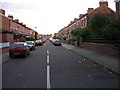
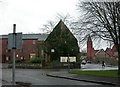
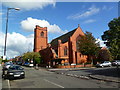
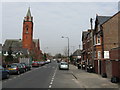
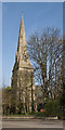
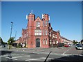
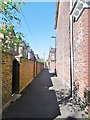
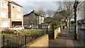
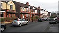
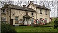
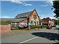
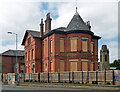
41 photos from this area
Area Information
Key information about the M16 9GP including its size, population, and administrative classification.
- Area Type
- Postcode
- Area Size
- 3796 m²
- Population
- 1619
- Population Density
- 9580 people/km²
House Prices in M16 9GP
12
Properties
£167,800
Average Sold Price
£48,000
Lowest Price
£324,000
Highest Price
Showing 12 properties
| Address | Type | Beds | Baths | Last Sale Price | Last Sale Date | |
|---|---|---|---|---|---|---|
| 69 Kings Road, Old Trafford, M16 9GP | Semi-detached | 3 | 2 | £324,000 | Mar 2023 | |
| 81 Kings Road, Old Trafford, M16 9GP | house | - | - | £300,000 | Jan 2018 | |
| 79 Kings Road, Old Trafford, M16 9GP | house | 3 | - | £224,000 | Jun 2015 | |
| 61 Kings Road, Old Trafford, M16 9GP | Semi-detached | 3 | - | £230,000 | Apr 2015 | |
| 65 Kings Road, Old Trafford, M16 9GP | Semi-detached | - | - | £170,000 | Mar 2015 | |
| 77 Kings Road, Old Trafford, M16 9GP | Semi-detached | - | - | £150,000 | Dec 2005 | |
| 73 Kings Road, Old Trafford, M16 9GP | house | - | - | £90,000 | Nov 2001 | |
| 59 Kings Road, Old Trafford, M16 9GP | Semi-detached | - | - | £89,000 | Sep 2001 | |
| 67 Kings Road, Old Trafford, M16 9GP | Semi-detached | - | - | £53,000 | Feb 1999 | |
| 71 Kings Road, Old Trafford, M16 9GP | house | - | - | £48,000 | Oct 1997 |
Page 1 of 2
Energy Efficiency in M16 9GP
Amenities
Schools
| Rank | School | Type | Entry gender | Ages |
|---|
Explore more schools in this area
Go to Schools tabDemographics
Household Size
Family (3-5 people)
most common
Accommodation Type
Houses
most common
Tenure
81
majority
Ethnic Group
asian_total
most common
Religion
N/A
most common
Household Composition
N/A
most common
Age
47
median
Adults (30-64 years)
most common
Household Deprivation
N/A
with no deprivation
NS-SEC
33
in Lower managerial occupations
Explore more demographic insights in this area
Go to Demographics tabPlanning
Planning Constraints
- Flood RiskPremium
- Ramsar Wetland SitesPremium
- Area of Outstanding Natural BeautyPremium
- Protected Nature ReservePremium
- Protected WoodlandPremium