Area Overview for M16 8NS
Photos of M16 8NS
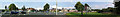
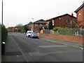
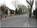
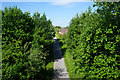
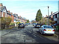
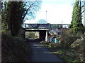
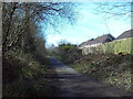
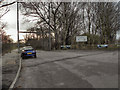
29 photos from this area
Area Information
Key information about the M16 8NS including its size, population, and administrative classification.
- Area Type
- Postcode
- Area Size
- 8448 m²
- Population
- 2226
- Population Density
- 5476 people/km²
House Prices in M16 8NS
46
Properties
£330,098
Average Sold Price
£85,000
Lowest Price
£726,681
Highest Price
Showing 46 properties
| Address | Type | Beds | Baths | Last Sale Price | Last Sale Date | |
|---|---|---|---|---|---|---|
| 12 Blair Road, Manchester, M16 8NS | Semi-detached | 1 | 1 | £726,681 | Apr 2025 | |
| 5 Blair Road, Manchester, M16 8NS | Terraced | 5 | 3 | £642,500 | Feb 2025 | |
| 24 Blair Road, Manchester, M16 8NS | Semi-detached | - | - | £150,000 | May 2022 | |
| 10 Blair Road, Manchester, M16 8NS | house | 1 | 2 | £565,000 | Feb 2020 | |
| 9 Blair Road, Manchester, M16 8NS | Terraced | 5 | - | £520,000 | Sep 2017 | |
| 16 Blair Road, Manchester, M16 8NS | house | - | - | £172,000 | Dec 2014 | |
| 17 Blair Road, Manchester, M16 8NS | house | - | - | £385,000 | Apr 2010 | |
| 19 Blair Road, Manchester, M16 8NS | house | 6 | - | £250,000 | Jan 2010 | |
| 1 Blair Road, Manchester, M16 8NS | Semi-detached | 1 | 1 | £165,000 | Mar 2003 | |
| 18 Blair Road, Manchester, M16 8NS | Semi-detached | - | - | £185,000 | Mar 2003 |
Page 1 of 5
Energy Efficiency in M16 8NS
Amenities
Schools
| Rank | School | Type | Entry gender | Ages |
|---|
Explore more schools in this area
Go to Schools tabDemographics
Household Size
Family (3-5 people)
most common
Accommodation Type
Houses
most common
Tenure
55
majority
Ethnic Group
asian_total
most common
Religion
N/A
most common
Household Composition
N/A
most common
Age
47
median
Adults (30-64 years)
most common
Household Deprivation
N/A
with no deprivation
NS-SEC
33
in Lower managerial occupations
Explore more demographic insights in this area
Go to Demographics tabPlanning
Planning Constraints
- Flood RiskPremium
- Ramsar Wetland SitesPremium
- Area of Outstanding Natural BeautyPremium
- Protected Nature ReservePremium
- Protected WoodlandPremium