Area Overview for M16 8LB
Photos of M16 8LB
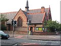
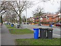
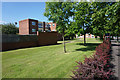
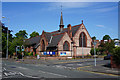
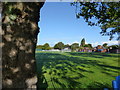
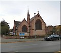
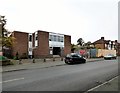
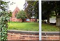
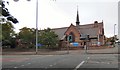
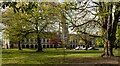
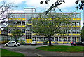
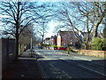
24 photos from this area
Area Information
Key information about the M16 8LB including its size, population, and administrative classification.
- Area Type
- Postcode
- Area Size
- 6541 m²
- Population
- 2436
- Population Density
- 7452 people/km²
House Prices in M16 8LB
55
Properties
£210,350
Average Sold Price
£26,500
Lowest Price
£485,000
Highest Price
Showing 55 properties
| Address | Type | Beds | Baths | Last Sale Price | Last Sale Date | |
|---|---|---|---|---|---|---|
| 27 Clarendon Road, Manchester, M16 8LB | house | - | - | £385,000 | Oct 2022 | |
| 17 Clarendon Road, Manchester, M16 8LB | Terraced | 5 | 1 | £365,000 | May 2021 | |
| 45 Clarendon Road, Manchester, M16 8LB | Detached | 11 | 1 | £485,000 | Aug 2019 | |
| 19 Clarendon Road, Manchester, M16 8LB | house | - | - | £240,000 | Oct 2015 | |
| 35 Clarendon Road, Manchester, M16 8LB | house | - | - | £170,000 | Apr 2014 | |
| 51 Clarendon Road, Manchester, M16 8LB | house | - | - | £87,000 | Sep 2009 | |
| 31 Clarendon Road, Manchester, M16 8LB | house | - | - | £285,000 | Nov 2006 | |
| 23 Clarendon Road, Manchester, M16 8LB | Semi-detached | - | - | £30,000 | Nov 1999 | |
| 21 Clarendon Road, Manchester, M16 8LB | house | - | - | £30,000 | Nov 1999 | |
| 47 Clarendon Road, Manchester, M16 8LB | house | - | - | £26,500 | Nov 1999 |
Page 1 of 6
Energy Efficiency in M16 8LB
Amenities
Schools
| Rank | School | Type | Entry gender | Ages |
|---|
Explore more schools in this area
Go to Schools tabDemographics
Household Size
One person
most common
Accommodation Type
Houses
most common
Tenure
49
majority
Ethnic Group
White
most common
Religion
N/A
most common
Household Composition
N/A
most common
Age
47
median
Adults (30-64 years)
most common
Household Deprivation
N/A
with no deprivation
NS-SEC
33
in Lower managerial occupations
Explore more demographic insights in this area
Go to Demographics tabPlanning
Planning Constraints
- Flood RiskPremium
- Ramsar Wetland SitesPremium
- Area of Outstanding Natural BeautyPremium
- Protected Nature ReservePremium
- Protected WoodlandPremium