Area Overview for M16 8BR
Photos of M16 8BR
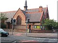
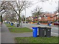
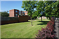
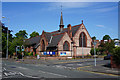
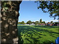
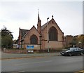
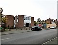
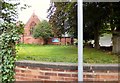
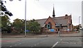

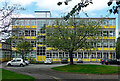
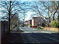
24 photos from this area
Area Information
Key information about the M16 8BR including its size, population, and administrative classification.
- Area Type
- Postcode
- Area Size
- 9961 m²
- Population
- 2436
- Population Density
- 7452 people/km²
House Prices in M16 8BR
36
Properties
£303,333
Average Sold Price
£71,500
Lowest Price
£520,000
Highest Price
Showing 36 properties
| Address | Type | Beds | Baths | Last Sale Price | Last Sale Date | |
|---|---|---|---|---|---|---|
| 108 Dudley Road, Manchester, M16 8BR | Semi-detached | 4 | 2 | £520,000 | Jun 2019 | |
| 94 Dudley Road, Manchester, M16 8BR | house | - | - | £440,000 | Dec 2015 | |
| 102 Dudley Road, Manchester, M16 8BR | house | - | - | £372,500 | Oct 2014 | |
| 86 Dudley Road, Manchester, M16 8BR | house | - | - | £375,000 | Sep 2012 | |
| 106 Dudley Road, Manchester, M16 8BR | house | 4 | - | £310,000 | Feb 2012 | |
| 88 Dudley Road, Manchester, M16 8BR | house | - | - | £249,999 | Jul 2009 | |
| 84 Dudley Road, Manchester, M16 8BR | Semi-detached | - | - | £315,000 | Mar 2007 | |
| 110 Dudley Road, Manchester, M16 8BR | Semi-detached | - | - | £76,000 | Nov 2001 | |
| 112 Dudley Road, Manchester, M16 8BR | Semi-detached | - | - | £71,500 | Dec 1996 | |
| Flat 1, 120 Dudley Road, Manchester, M16 8BR | Flat | 8 | 6 | - | - |
Page 1 of 4
Energy Efficiency in M16 8BR
Amenities
Schools
| Rank | School | Type | Entry gender | Ages |
|---|
Explore more schools in this area
Go to Schools tabDemographics
Household Size
One person
most common
Accommodation Type
Houses
most common
Tenure
49
majority
Ethnic Group
White
most common
Religion
N/A
most common
Household Composition
N/A
most common
Age
47
median
Adults (30-64 years)
most common
Household Deprivation
N/A
with no deprivation
NS-SEC
33
in Lower managerial occupations
Explore more demographic insights in this area
Go to Demographics tabPlanning
Planning Constraints
- Flood RiskPremium
- Ramsar Wetland SitesPremium
- Area of Outstanding Natural BeautyPremium
- Protected Nature ReservePremium
- Protected WoodlandPremium