Area Overview for M16 8AU
Photos of M16 8AU
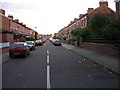
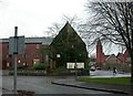
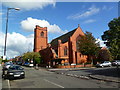
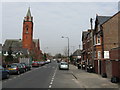
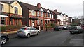
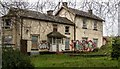
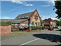
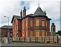
41 photos from this area
Area Information
Key information about the M16 8AU including its size, population, and administrative classification.
- Area Type
- Postcode
- Area Size
- 2867 m²
- Population
- 2109
- Population Density
- 7875 people/km²
House Prices in M16 8AU
12
Properties
£191,136
Average Sold Price
£67,500
Lowest Price
£287,500
Highest Price
Showing 12 properties
| Address | Type | Beds | Baths | Last Sale Price | Last Sale Date | |
|---|---|---|---|---|---|---|
| 4 Railton Avenue, Manchester, M16 8AU | Terraced | 3 | 1 | £287,500 | Nov 2025 | |
| 9 Railton Avenue, Manchester, M16 8AU | Terraced | 3 | 1 | £275,000 | Jun 2023 | |
| 7 Railton Avenue, Manchester, M16 8AU | Terraced | 3 | 1 | £260,000 | May 2023 | |
| 6 Railton Avenue, Manchester, M16 8AU | house | - | - | £247,000 | Feb 2018 | |
| 5 Railton Avenue, Manchester, M16 8AU | Terraced | 4 | - | £190,000 | Oct 2013 | |
| 2 Railton Avenue, Manchester, M16 8AU | house | 3 | - | £156,000 | Jun 2010 | |
| 1 Railton Avenue, Manchester, M16 8AU | Terraced | 3 | 1 | £148,000 | Dec 2009 | |
| 3 Railton Avenue, Manchester, M16 8AU | Terraced | - | - | £169,000 | Feb 2007 | |
| 10 Railton Avenue, Manchester, M16 8AU | Terraced | 3 | 1 | £130,000 | Aug 2006 | |
| 8 Railton Avenue, Manchester, M16 8AU | Terraced | - | - | £172,500 | Jul 2005 |
Page 1 of 2
Energy Efficiency in M16 8AU
Amenities
Schools
| Rank | School | Type | Entry gender | Ages |
|---|
Explore more schools in this area
Go to Schools tabDemographics
Household Size
One person
most common
Accommodation Type
Flats
most common
Tenure
27
majority
Ethnic Group
White
most common
Religion
N/A
most common
Household Composition
N/A
most common
Age
47
median
Adults (30-64 years)
most common
Household Deprivation
N/A
with no deprivation
NS-SEC
40
in Lower managerial occupations
Explore more demographic insights in this area
Go to Demographics tabPlanning
Planning Constraints
- Flood RiskPremium
- Ramsar Wetland SitesPremium
- Area of Outstanding Natural BeautyPremium
- Protected Nature ReservePremium
- Protected WoodlandPremium