Area Overview for M16 0BP
Photos of M16 0BP
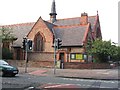
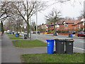
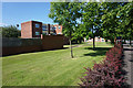
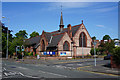
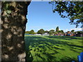
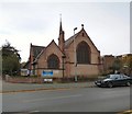
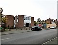
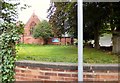
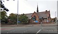
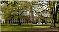
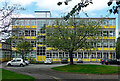
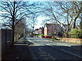
24 photos from this area
Area Information
Key information about the M16 0BP including its size, population, and administrative classification.
- Area Type
- Postcode
- Area Size
- 1.2 hectares
- Population
- 1814
- Population Density
- 10006 people/km²
House Prices in M16 0BP
48
Properties
£191,144
Average Sold Price
£30,150
Lowest Price
£375,000
Highest Price
Showing 48 properties
| Address | Type | Beds | Baths | Last Sale Price | Last Sale Date | |
|---|---|---|---|---|---|---|
| 50 Milton Grove, Manchester, M16 0BP | Terraced | 3 | 1 | £375,000 | Sep 2022 | |
| 10 Milton Grove, Manchester, M16 0BP | Semi-detached | 4 | 1 | £332,276 | Jul 2022 | |
| 11 Milton Grove, Manchester, M16 0BP | house | - | - | £360,000 | Aug 2021 | |
| 14A Milton Grove, Manchester, M16 0BP | Semi-detached | 3 | 1 | £330,000 | Jul 2021 | |
| 47 Milton Grove, Manchester, M16 0BP | house | - | - | £220,000 | Oct 2019 | |
| 9 Milton Grove, Manchester, M16 0BP | Semi-detached | 4 | 1 | £350,000 | Nov 2018 | |
| 52 Milton Grove, Manchester, M16 0BP | Terraced | 3 | - | £255,000 | Jan 2016 | |
| 43 Milton Grove, Manchester, M16 0BP | Bungalow | 3 | - | £180,000 | Nov 2014 | |
| 54 Milton Grove, Manchester, M16 0BP | house | - | - | £189,000 | Nov 2013 | |
| 15 Milton Grove, Manchester, M16 0BP | house | - | - | £187,000 | Jul 2013 |
Page 1 of 5
Energy Efficiency in M16 0BP
Amenities
Schools
| Rank | School | Type | Entry gender | Ages |
|---|
Explore more schools in this area
Go to Schools tabDemographics
Household Size
Family (3-5 people)
most common
Accommodation Type
Houses
most common
Tenure
57
majority
Ethnic Group
asian_total
most common
Religion
N/A
most common
Household Composition
N/A
most common
Age
47
median
Adults (30-64 years)
most common
Household Deprivation
N/A
with no deprivation
NS-SEC
36
in Lower managerial occupations
Explore more demographic insights in this area
Go to Demographics tabPlanning
Planning Constraints
- Flood RiskPremium
- Ramsar Wetland SitesPremium
- Area of Outstanding Natural BeautyPremium
- Protected Nature ReservePremium
- Protected WoodlandPremium