Area Overview for M15 6GH
Photos of M15 6GH
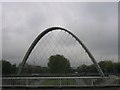
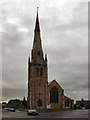
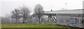
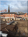
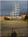
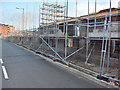
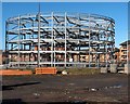
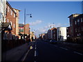
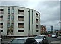
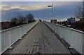
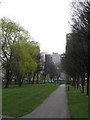
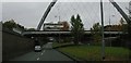
100 photos from this area
Area Information
Key information about the M15 6GH including its size, population, and administrative classification.
- Area Type
- Postcode
- Area Size
- 3328 m²
- Population
- 3127
- Population Density
- 11248 people/km²
House Prices in M15 6GH
33
Properties
£129,750
Average Sold Price
£68,500
Lowest Price
£323,000
Highest Price
Showing 33 properties
| Address | Type | Beds | Baths | Last Sale Price | Last Sale Date | |
|---|---|---|---|---|---|---|
| 5 Loxford Street, Manchester, M15 6GH | Flat | - | - | £192,500 | Jul 2024 | |
| 8 Loxford Street, Manchester, M15 6GH | Terraced | 4 | 2 | £323,000 | Jun 2024 | |
| 16 Loxford Street, Manchester, M15 6GH | Semi-detached | 2 | 1 | £270,000 | Mar 2023 | |
| 23 Loxford Street, Manchester, M15 6GH | Flat | - | - | £163,600 | Jan 2019 | |
| 27 Loxford Street, Manchester, M15 6GH | Flat | - | - | £142,500 | Sep 2018 | |
| 41 Loxford Street, Manchester, M15 6GH | Flat | - | - | £160,000 | Mar 2018 | |
| 20 Loxford Street, Manchester, M15 6GH | Flat | - | - | £151,000 | Nov 2017 | |
| 37 Loxford Street, Manchester, M15 6GH | Flat | - | - | £124,000 | Apr 2016 | |
| 19 Loxford Street, Manchester, M15 6GH | Flat | 2 | 1 | £119,000 | Nov 2015 | |
| 35 Loxford Street, Manchester, M15 6GH | Flat | 2 | 1 | £124,950 | May 2015 |
Page 1 of 4
Energy Efficiency in M15 6GH
Amenities
Schools
| Rank | School | Type | Entry gender | Ages |
|---|
Explore more schools in this area
Go to Schools tabDemographics
Household Size
One person
most common
Accommodation Type
Flats
most common
Tenure
14
majority
Ethnic Group
White
most common
Religion
N/A
most common
Household Composition
N/A
most common
Age
22
median
Young Adults (15-29 years)
most common
Household Deprivation
N/A
with no deprivation
NS-SEC
12
in Lower managerial occupations
Explore more demographic insights in this area
Go to Demographics tabPlanning
Planning Constraints
- Flood RiskPremium
- Ramsar Wetland SitesPremium
- Area of Outstanding Natural BeautyPremium
- Protected Nature ReservePremium
- Protected WoodlandPremium